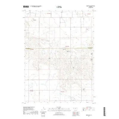
2017 Map of Wright Gap
USGS Topo · Published 2017About this map
The Wildcat Hills escarpment dominates this portion of the Nebraska Panhandle, straddling the border between Scotts Bluff Co and Banner Co. This high-plains landscape is defined by its dramatic topographic relief, featuring prominent landmarks such as Bead Mtn, Big Haystack Mtn, and the distinctive Castle Rock. These formations overlook the broad valley of Pumpkin Cr to the south and are punctuated by drainage features like Coyote Canyon and Bishop Canyon.
Find a feature on this map
37 named features on this map. Tap any name to fly to it.
Don’t see what you’re looking for? This feature index may not catch every label — zoom into the map to look around manually.
Map Details
Editions of this 2017 Wright Gap Map
This is the sole edition of this map. No revisions or reprints were ever made.
Other maps of this area

1898 · Scotts Bluff
USGS Topo · 1:125,000

1898 · Camp Clarke
USGS Topo · 1:125,000

1954 · Scottsbluff
USGS Topo · 1:250,000

1958 · Scottsbluff
USGS Topo · 1:250,000

1963 · Scottsbluff South
USGS Topo · 1:24,000

1965 · Minatare
USGS Topo · 1:24,000

1965 · Bayard SW
USGS Topo · 1:24,000

1965 · McGrew
USGS Topo · 1:24,000

1973 · Scotts Bluff 4 NW
USGS Topo · 1:24,000

1973 · Scotts Bluff 4 SE
USGS Topo · 1:24,000