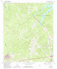
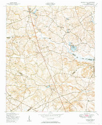
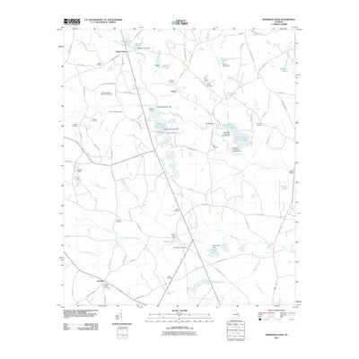
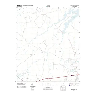
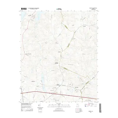
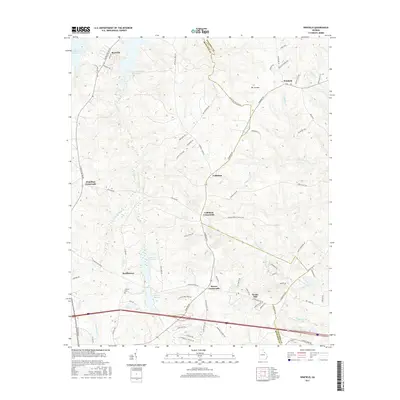
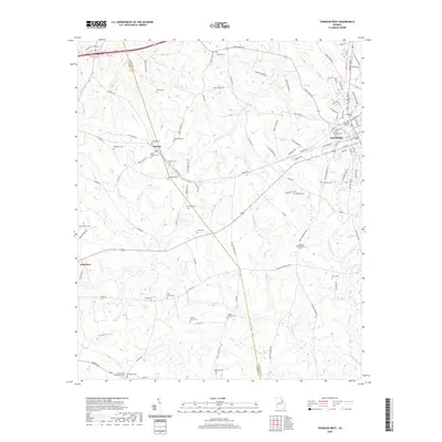
1972 Map of Wrightsboro
USGS Topo · Published 1987About this map
The community of Wrightsboro serves as the focal point of this McDuffie County landscape, which underwent significant documentation and revision during the 1970s and 1980s. The northeastern portion of the quadrangle is defined by the reaching fingers of Clarks Hill Lake, with much of the surrounding shoreline preserved as the Clarks Hill Wildlife Management Area. This confluence of water and woodland creates a distinct boundary against the agricultural and industrial areas to the south.
Find a feature on this map
30 named features on this map. Tap any name to fly to it.
Don’t see what you’re looking for? This feature index may not catch every label — zoom into the map to look around manually.
Map Details
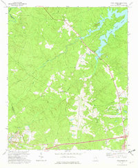
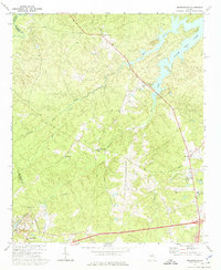
Editions of this 1972 Wrightsboro Map
3 editions found
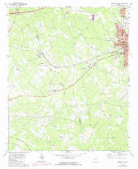
Historical Maps of Anthony Crossroads Through Time
31 maps found
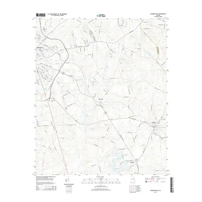
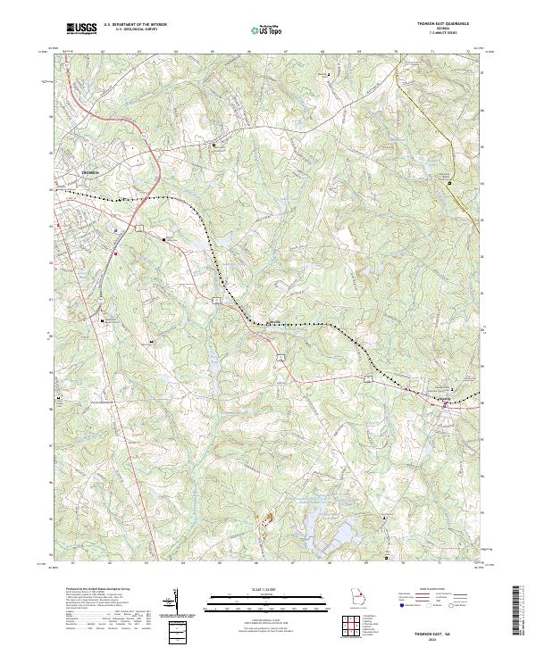
1948 Thomson East
McDuffie County, GA
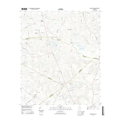
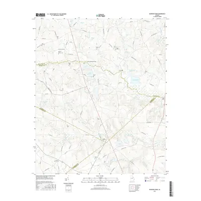
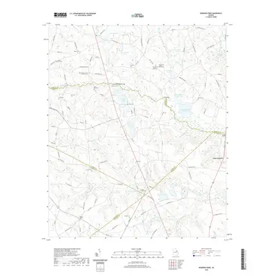
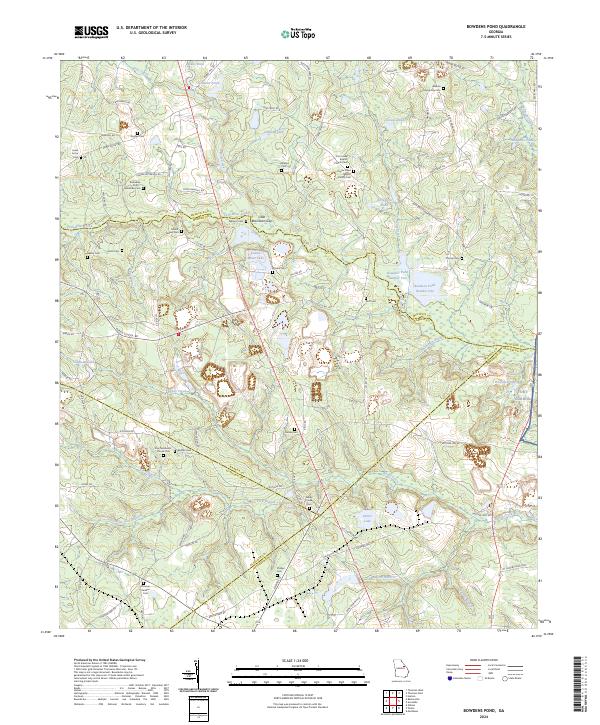
1950 Bowdens Pond
McDuffie County, GA
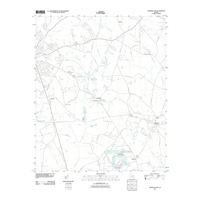
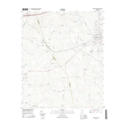
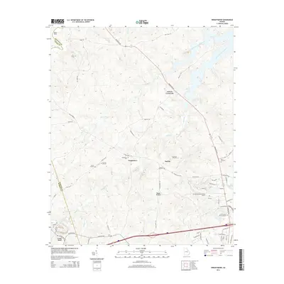
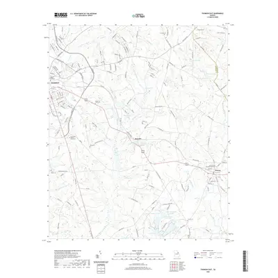
1972 Thomson West
McDuffie County, GA
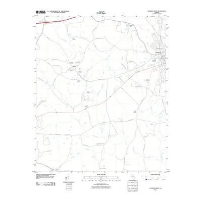
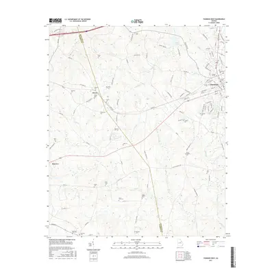
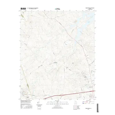
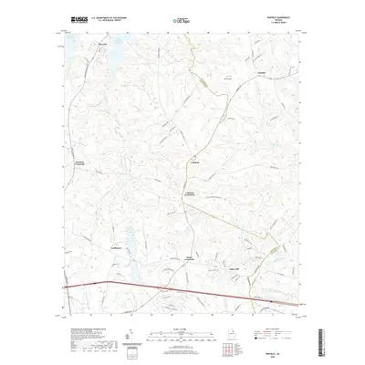
1972 Winfield
McDuffie County, GA
1972 Wrightsboro
McDuffie County, GA
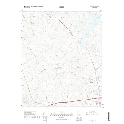
1979 Winfield
McDuffie County, GA
2011 Bowdens Pond
McDuffie County, GA
2011 Thomson East
McDuffie County, GA
2011 Thomson West
McDuffie County, GA
2011 Winfield
McDuffie County, GA
2011 Wrightsboro
McDuffie County, GA
2014 Bowdens Pond
McDuffie County, GA
2014 Thomson East
McDuffie County, GA
2014 Thomson West
McDuffie County, GA
2014 Winfield
McDuffie County, GA
2014 Wrightsboro
McDuffie County, GA
2017 Bowdens Pond
McDuffie County, GA

2017 Thomson East
McDuffie County, GA
2017 Thomson West
McDuffie County, GA
2017 Winfield
McDuffie County, GA
2017 Wrightsboro
McDuffie County, GA
2020 Bowdens Pond
McDuffie County, GA
2020 Thomson East
McDuffie County, GA
2020 Thomson West
McDuffie County, GA
2020 Winfield
McDuffie County, GA
2020 Wrightsboro
McDuffie County, GA
2024 Bowdens Pond
McDuffie County, GA
2024 Thomson East
McDuffie County, GA
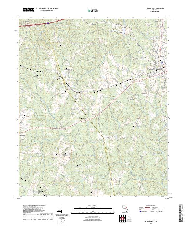
2024 Thomson West
McDuffie County, GA
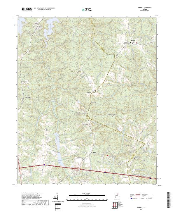
2024 Winfield
McDuffie County, GA
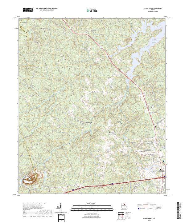
2024 Wrightsboro
McDuffie County, GA