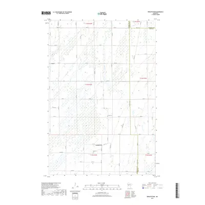
2019 Map of Wrightstown
USGS Topo · Published 2019About this map
Wrightstown and Lyman anchor this rural landscape where the borders of Otter Tail, Wadena, and Todd counties converge. The terrain is defined by a high concentration of wetlands and small basins, characteristic of this portion of Minnesota. Local history is centered around the Wrightstown Cem and Oak Ridge Cem, which serve as primary landmarks for genealogists tracing families in the area. Drainage is provided by small waterways like S Bluff Cr, Oak Cr, and Union Cr, which snake through the township sections. The rectilinear grid of county roads, including Co Hwy 75 and Co Hwy 73, provides the infrastructure for the scattered farmsteads that have populated this region since its early settlement.
Find a feature on this map
58 named features on this map. Tap any name to fly to it.
Don’t see what you’re looking for? This feature index may not catch every label — zoom into the map to look around manually.
Map Details
Editions of this 2019 Wrightstown Map
This is the sole edition of this map. No revisions or reprints were ever made.
Other maps of this area

1953 · Brainerd
USGS Topo · 1:250,000

1957 · Brainerd
USGS Topo · 1:250,000

1958 · Brainerd
USGS Topo · 1:250,000

1965 · Brainerd
USGS Topo · 1:250,000
1969 · Eagle Bend
USGS Topo · 1:24,000

1969 · Henning SE
USGS Topo · 1:24,000

1969 · Bertha
USGS Topo · 1:24,000

1969 · Wrightstown
USGS Topo · 1:24,000

1969 · Wadena
USGS Topo · 1:24,000
1969 · Eagle Bend NW
USGS Topo · 1:24,000