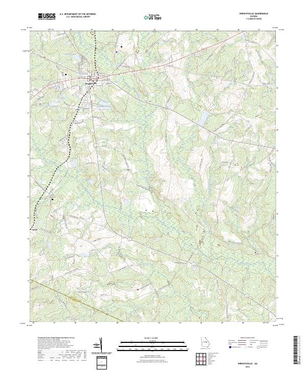
2024 Map of Wrightsville
USGS Topo · Published 2024About this map
Wrightsville serves as the central hub of this Johnson County landscape, where a grid of streets including W Elm St and S Marcus St gives way to the agricultural and riparian terrain of middle Georgia. The Ohoopee River and its numerous tributaries, such as Big Cedar Creek and Cypress Creek, define the drainage patterns of the region. Local genealogy is well-represented through family and community landmarks like West View Cem, Brantley Chapel Cem, and Snell Cem, alongside the James Grove Ch.
Find a feature on this map
95 named features on this map. Tap any name to fly to it.
Don’t see what you’re looking for? This feature index may not catch every label — zoom into the map to look around manually.
Map Details
Editions of this 2024 Wrightsville Map
This is the sole edition of this map. No revisions or reprints were ever made.
Other maps of this area

1957 · Macon
USGS Topo · 1:250,000

1958 · Macon
USGS Topo · 1:250,000

1962 · Irwins Crossroads
USGS Topo · 1:24,000

1964 · Macon
USGS Topo · 1:250,000
1973 · Davisboro SE
USGS Topo · 1:24,000
1973 · Harrison
USGS Topo · 1:24,000

1974 · Kite
USGS Topo · 1:24,000

1974 · Wrightsville
USGS Topo · 1:24,000

1974 · East Dublin
USGS Topo · 1:24,000

1974 · Lovett
USGS Topo · 1:24,000