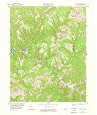
1977 Map of Wrigley
USGS Topo · Published 1977About this map
Daniel Boone National Forest covers the central portion of this map, where the Licking River winds through a landscape defined by sharp elevation changes and deep creek beds. The settlement of Wrigley sits at the junction of KY 711 and the river, while smaller communities like Blairs Mills and Wyett dot the northern and eastern ridges. This 1970s landscape shows the persistent rural character of the area, punctuated by industrial activity at a Strip Mine and the presence of numerous family landmarks.
Find a feature on this map
63 named features on this map. Tap any name to fly to it.
Don’t see what you’re looking for? This feature index may not catch every label — zoom into the map to look around manually.
Map Details
Editions of this 1977 Wrigley Map
2 editions found
Other maps of this area

1889 · Salyersville
USGS Topo · 1:125,000

1891 · Salyersville
USGS Topo · 1:125,000

1899 · Salyersville
USGS Topo · 1:125,000

1929 · Morehead
USGS Topo · 1:48,000

1935 · Morehead
USGS Topo · 1:62,500

1950 · Ault
USGS Topo · 1:24,000

1950 · Sandy Hook
USGS Topo · 1:24,000

1950 · Lenox
USGS Topo · 1:24,000

1951 · Ezel
USGS Topo · 1:24,000
1951 · Lenox
USGS Topo · 1:24,000