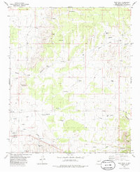
1982 Map of Wrye Peak
USGS Topo · Published 1986About this map
Wrye Peak anchors a landscape defined by ranching life and desert water management in Socorro County. Surveyed in the early 1970s and edited for this 1982 release, the map documents a network of isolated outposts such as Wrye Ranch and Hinkle Ranch. The topography is etched with deep drainage systems including Yellow Dog Canyon and Hoot Owl Canyon, which dictate the placement of vital water sources like Pino Well, Jenkins Well, and the Bence Tank.
Find a feature on this map
34 named features on this map. Tap any name to fly to it.
Don’t see what you’re looking for? This feature index may not catch every label — zoom into the map to look around manually.
Map Details
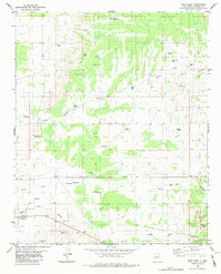
Editions of this 1982 Wrye Peak Map
2 editions found
Other maps of this area

1918 · Oscura Peak
USGS Topo · 1:125,000

1948 · Broken Back Crater
USGS Topo · 1:62,500

1948 · Bingham
USGS Topo · 1:62,500

1954 · Tularosa
USGS Topo · 1:250,000

1954 · Socorro
USGS Topo · 1:250,000

1958 · Socorro
USGS Topo · 1:250,000

1958 · Tularosa
USGS Topo · 1:250,000

1962 · Socorro
USGS Topo · 1:250,000

1972 · Turkey Ridge SW
USGS Topo · 1:24,000

1972 · Wilson Ranch
USGS Topo · 1:24,000