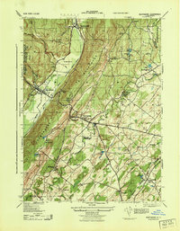
1943 Map of Wurtsboro
USGS Topo · Published 1965About this map
The Shawangunk Mountains dominate this 1940s landscape, providing a dramatic backdrop to the transportation corridors of the Mamakating valley. The Delaware and Hudson Canal remains a visible landmark alongside the New York Ontario and Western RR, illustrating the evolution of freight movement through the region. Small settlements like Wurtsboro and Bloomingburg serve as local hubs, characterized by a dense network of country schools including the Bloomingburg School and Gumaer School.
Find a feature on this map
58 named features on this map. Tap any name to fly to it.
Don’t see what you’re looking for? This feature index may not catch every label — zoom into the map to look around manually.
Map Details
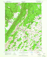
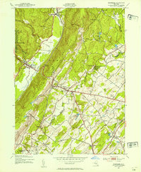
Editions of this 1943 Wurtsboro Map
3 editions found
Other maps of this area

1904 · Ellenville
USGS Topo · 1:62,500

1906 · Ellenville
USGS Topo · 1:62,500

1906 · Port Jervis
USGS Topo · 1:62,500

1906 · Goshen
USGS Topo · 1:62,500

1908 · Goshen
USGS Topo · 1:62,500

1908 · Port Jervis
USGS Topo · 1:62,500

1909 · Monticello
USGS Topo · 1:62,500

1911 · Monticello
USGS Topo · 1:62,500

1938 · Goshen
USGS Topo · 1:62,500

1942 · Goshen
USGS Topo · 1:24,000