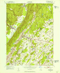
1943 Map of Wurtsboro
USGS Topo · Published 1965About this map
The Shawangunk Mountains dominate the western horizon of this 1942 survey, where the remnants of the Delaware and Hudson Canal (Abandoned) trace the valley floor alongside the New York Ontario and Western RR. This corridor served as a vital transportation artery between the mountains and the Mamakating lowlands, connecting settlements like Summitville and Wurtsboro. The map documents a landscape defined by seasonal recreation and local education, evidenced by sites like Camp Hemlock, Shawanda Lodge, and numerous neighborhood schoolhouses including Roosa Gap Sch and Mt Johnson Sch. To the east, the terrain transitions into the agricultural reaches of Wallkill and Crawford, where Pakanasink Creek meanders toward Circleville. The inclusion of Wurtsboro Airport and the Erie RR spur at Fair Oaks highlights the early mid-century infrastructure that linked these Sullivan and Orange County communities to the broader region.
Find a feature on this map
49 named features on this map. Tap any name to fly to it.
Don’t see what you’re looking for? This feature index may not catch every label — zoom into the map to look around manually.
Map Details
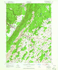
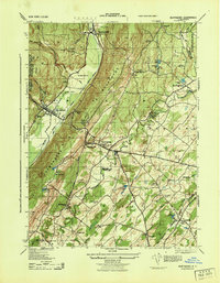
Editions of this 1943 Wurtsboro Map
3 editions found
Other maps of this area

1904 · Ellenville
USGS Topo · 1:62,500

1906 · Ellenville
USGS Topo · 1:62,500

1906 · Port Jervis
USGS Topo · 1:62,500

1906 · Goshen
USGS Topo · 1:62,500

1908 · Goshen
USGS Topo · 1:62,500

1908 · Port Jervis
USGS Topo · 1:62,500

1909 · Monticello
USGS Topo · 1:62,500

1911 · Monticello
USGS Topo · 1:62,500

1938 · Goshen
USGS Topo · 1:62,500

1942 · Goshen
USGS Topo · 1:24,000