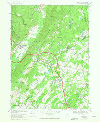
1969 Map of Wurtsboro
USGS Topo · Published 1971About this map
The Shawangunk Mountains dominate this 1969 landscape, where the valley floors are defined by the legacy of early New York transportation. The path of the Delaware and Hudson Canal remains a visible marker near Summitville, tracing the low ground parallel to the Basher Kill. This corridor served as a vital artery for coal transport before being superseded by the rail lines that followed, including the Erie-Lackawanna Railroad visible near Circleville.
Find a feature on this map
65 named features on this map. Tap any name to fly to it.
Don’t see what you’re looking for? This feature index may not catch every label — zoom into the map to look around manually.
Map Details
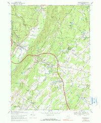
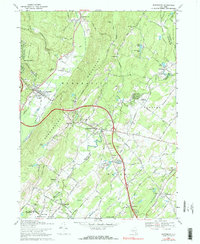
Editions of this 1969 Wurtsboro Map
3 editions found
Other maps of this area

1904 · Ellenville
USGS Topo · 1:62,500

1906 · Ellenville
USGS Topo · 1:62,500

1906 · Port Jervis
USGS Topo · 1:62,500

1906 · Goshen
USGS Topo · 1:62,500

1908 · Goshen
USGS Topo · 1:62,500

1908 · Port Jervis
USGS Topo · 1:62,500

1909 · Monticello
USGS Topo · 1:62,500

1911 · Monticello
USGS Topo · 1:62,500

1938 · Goshen
USGS Topo · 1:62,500

1942 · Goshen
USGS Topo · 1:24,000