Loading...
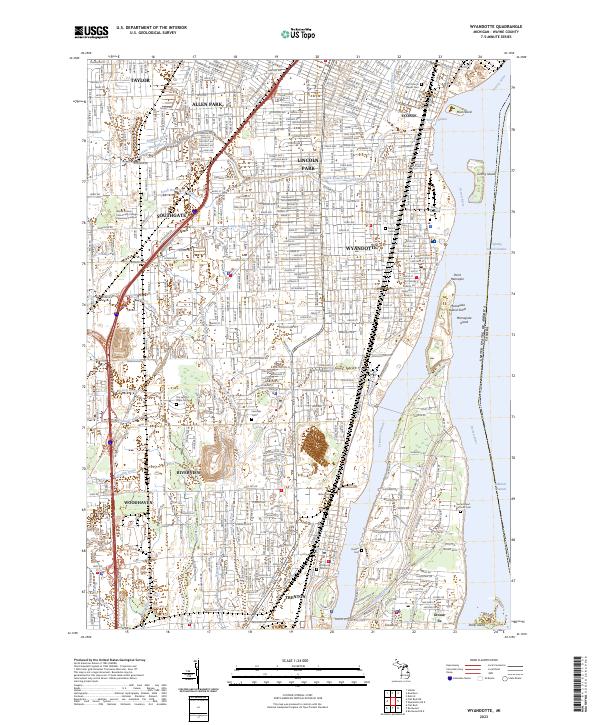
Loading map...2023 Map of Wyandotte
USGS Topo · Published 2023About this map
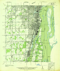
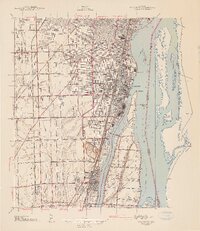
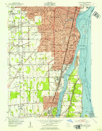
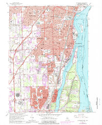
Industrial and residential Downriver communities dominate this landscape along the Detroit River. Stretching from Ecorse down to Trenton, the map shows a densely developed corridor where the Conrail line and M-85 parallel the water. The intricate drainage network, including the Sexton and Kilfoil Drain and Frank and Poet Drain, reveals the managed hydrology of this heavily urbanized riverfront.
Find a feature on this map
52 named features on this map. Tap any name to fly to it.
Don’t see what you’re looking for? This feature index may not catch every label — zoom into the map to look around manually.
Map Details
Date Portrayed2023
Date Published2023
PublisherU.S. Geological Survey
Map TypeTopographic
Scale1:24000
Physical Dimensions24 x 29 inches
Editions of this 2023 Wyandotte Map
This is the sole edition of this map. No revisions or reprints were ever made.
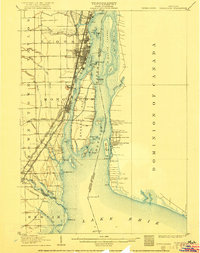
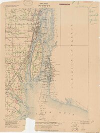
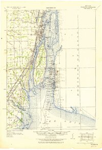
Historical Maps of Taylor Through Time
8 maps found
Featured Locations
Source Details
SourceU.S. Geological Survey
CopyrightPublic Domain