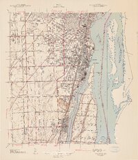
1942 Map of Wyandotte
USGS Topo · Published 1942About this map
Industrial developments and residential expansions define the Downriver landscape south of Detroit in the early 1940s. The Detroit River serves as the central artery for commerce, separated from the mainland by the Trenton Channel and punctuated by large landmasses like Grosse Ile and Fighting Island. The mapping highlights a dense corridor of rail infrastructure, including the Michigan Central RR and the Detroit Toledo and Ironton RR, which supported the heavy industries of Wyandotte and the Sibley Quarry.
Find a feature on this map
73 named features on this map. Tap any name to fly to it.
Don’t see what you’re looking for? This feature index may not catch every label — zoom into the map to look around manually.
Map Details
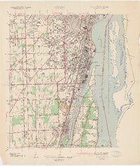
Editions of this 1942 Wyandotte Map
2 editions found
Other maps of this area

1905 · Wayne
USGS Topo · 1:62,500

1905 · Detroit
USGS Topo · 1:62,500

1906 · Wyandotte
USGS Topo · 1:62,500

1906 · Romulus
USGS Topo · 1:62,500

1912 · Wyandotte
USGS Topo · 1:62,500

1912 · Wayne
USGS Topo · 1:62,500

1918 · Detroit
USGS Topo · 1:62,500

1924 · Detroit
USGS Topo · 1:62,500

1928 · Romulus
USGS Topo · 1:62,500

1929 · Wyandotte
USGS Topo · 1:62,500