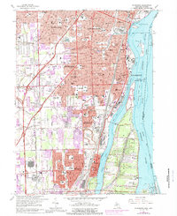
1967 Map of Wyandotte
USGS Topo · Published 1989About this map
The industrialized riverfront of the Detroit River defines this landscape between Wyandotte and Trenton, where the heavy industry of the Trenton Channel meets the residential growth of the Downriver suburbs. A massive extraction footprint is visible at the Sibley Quarry, while the region's civic development is marked by a high density of parochial institutions such as Aquinas High Sch and St Francis Cabrini Sch. Beyond the urban centers, the landscape is segmented by significant drainage systems like Sexton Kilfoil Drain and Huntington Creek, which manage the low-lying terrain as it transitions toward the shoreline. Large-scale land use is further evidenced by expansive sites like Our Lady of Hope Cemetery and leisure landmarks including a Drive-in Theater and the waterfront Elizabeth Park, illustrating the mid-century balance of industry, infrastructure, and community life.
Find a feature on this map
122 named features on this map. Tap any name to fly to it.
Don’t see what you’re looking for? This feature index may not catch every label — zoom into the map to look around manually.
Map Details
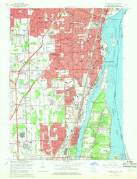
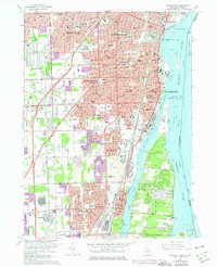
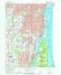
Editions of this 1967 Wyandotte Map
4 editions found
Other maps of this area

1905 · Wayne
USGS Topo · 1:62,500

1905 · Detroit
USGS Topo · 1:62,500

1906 · Wyandotte
USGS Topo · 1:62,500

1906 · Romulus
USGS Topo · 1:62,500

1912 · Wyandotte
USGS Topo · 1:62,500

1912 · Wayne
USGS Topo · 1:62,500

1918 · Detroit
USGS Topo · 1:62,500

1924 · Detroit
USGS Topo · 1:62,500

1928 · Romulus
USGS Topo · 1:62,500

1929 · Wyandotte
USGS Topo · 1:62,500