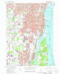
1967 Map of Wyandotte
USGS Topo · Published 1974About this map
The industrialized riverfront of the Detroit River south of the city dominates this 1967 survey, showing the heavy infrastructure and dense residential growth of the Downriver communities. The map tracks the vital transportation corridors of the Detroit Toledo and Ironton Railroad and Detroit and Toledo Shore Line as they move through Wyandotte and Trenton. Large-scale industrial land use is evident at the Sibley Quarry, while the river itself is defined by industrial islands and navigation aids like Ballards Reef.
Find a feature on this map
65 named features on this map. Tap any name to fly to it.
Don’t see what you’re looking for? This feature index may not catch every label — zoom into the map to look around manually.
Map Details
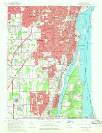
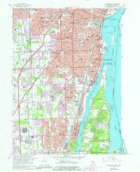
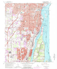
Editions of this 1967 Wyandotte Map
4 editions found
Other maps of this area

1905 · Wayne
USGS Topo · 1:62,500

1905 · Detroit
USGS Topo · 1:62,500

1906 · Wyandotte
USGS Topo · 1:62,500

1906 · Romulus
USGS Topo · 1:62,500

1912 · Wyandotte
USGS Topo · 1:62,500

1912 · Wayne
USGS Topo · 1:62,500

1918 · Detroit
USGS Topo · 1:62,500

1924 · Detroit
USGS Topo · 1:62,500

1928 · Romulus
USGS Topo · 1:62,500

1929 · Wyandotte
USGS Topo · 1:62,500