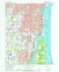
1967 Map of Wyandotte
USGS Topo · Published 1981About this map
Industrial corridors and dense residential blocks define the Downriver landscape in this 1960s survey, updated through the early 1980s. The Detroit River serves as the primary artery for the region, bordered by heavy industry such as the Oil Refinery and Sibley Quarry. Communities like Wyandotte and Trenton are tightly packed with mid-century civic infrastructure, including schools like Aquinas High Sch and St Francis Cabrini High Sch. The map reveals the intricate drainage network essential to the area's development, featuring the Frank and Poet Drain and Blakely Drain winding toward the river.
Find a feature on this map
91 named features on this map. Tap any name to fly to it.
Don’t see what you’re looking for? This feature index may not catch every label — zoom into the map to look around manually.
Map Details
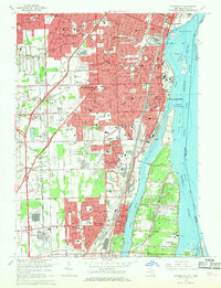
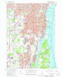
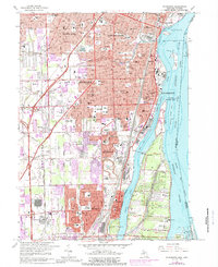
Editions of this 1967 Wyandotte Map
4 editions found
Other maps of this area

1905 · Wayne
USGS Topo · 1:62,500

1905 · Detroit
USGS Topo · 1:62,500

1906 · Wyandotte
USGS Topo · 1:62,500

1906 · Romulus
USGS Topo · 1:62,500

1912 · Wyandotte
USGS Topo · 1:62,500

1912 · Wayne
USGS Topo · 1:62,500

1918 · Detroit
USGS Topo · 1:62,500

1924 · Detroit
USGS Topo · 1:62,500

1928 · Romulus
USGS Topo · 1:62,500

1929 · Wyandotte
USGS Topo · 1:62,500