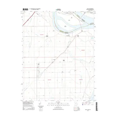
2015 Map of Wyatt
USGS Topo · Published 2015About this map
The confluence of the Mississippi River and the Ohio River dominates this landscape, where the borders of Illinois, Missouri, and Kentucky meet at a complex hydrological junction. At the heart of this river system lies Cairo, positioned near Cairo Point, while across the water in Missouri, the terrain is defined by a network of drainage systems like Bayou Ditch, Brewer Lake Ditch, and Fish Lake Ditch that manage the low-lying alluvial plains. This environment is characterized by distinct landforms such as Angelo Towhead in the river channel and Rushs Ridge further inland.
Find a feature on this map
69 named features on this map. Tap any name to fly to it.
Don’t see what you’re looking for? This feature index may not catch every label — zoom into the map to look around manually.
Map Details
Editions of this 2015 Wyatt Map
This is the sole edition of this map. No revisions or reprints were ever made.
Other maps of this area

1931 · Cairo
USGS Topo · 1:62,500

1933 · Cairo
USGS Topo · 1:62,500

1934 · Thebes
USGS Topo · 1:62,500

1939 · Wickliffe
USGS Topo · 1:62,500

1939 · Charleston
USGS Topo · 1:62,500

1939 · Cairo
USGS Topo · 1:62,500

1939 · Thebes
USGS Topo · 1:62,500

1949 · Paducah
USGS Topo · 1:250,000

1950 · Paducah
USGS Topo · 1:250,000

1951 · Wickliffe SW
USGS Topo · 1:24,000