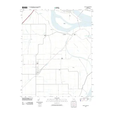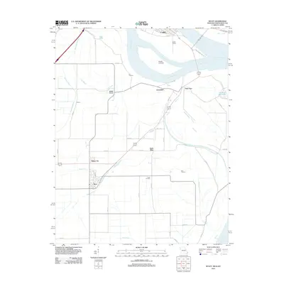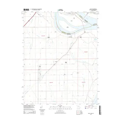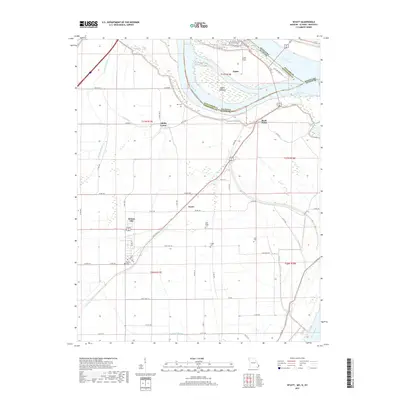
2021 Map of Wyatt
USGS Topo · Published 2021About this map
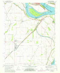
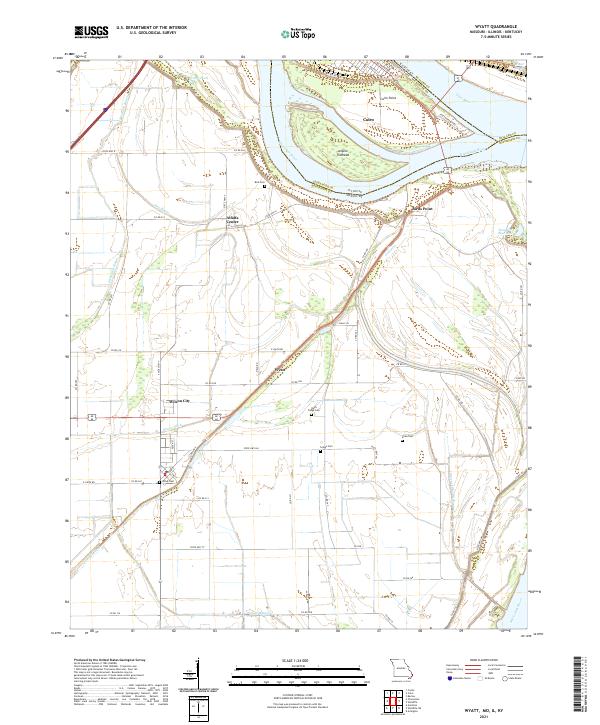
The Mississippi River and Ohio River converge at Cairo Point, a historically significant river junction where Illinois, Missouri, and Kentucky meet. This modern survey illustrates the intricate network of drainage systems and levees essential for managing the low-lying floodplain, including the Bayou Ditch, Fish Lake Ditch, and Brewer Lake Ditch. The landscape is dotted with small agricultural settlements like Wyatt, Wilson City, and Alfalfa Center, connected by a grid of county roads. Genealogists will find several family and local burial grounds, such as Bird Cem, Rush Ridge Cem, and Griggs Cem, which reflect the long-standing community roots in Mississippi County. Notable hydrological features such as the Angelo Towhead island and the Tom Bird Blue Hole suggest the dynamic nature of the river system and its impact on the local geography.
Find a feature on this map
66 named features on this map. Tap any name to fly to it.
Don’t see what you’re looking for? This feature index may not catch every label — zoom into the map to look around manually.
Map Details
Editions of this 2021 Wyatt Map
This is the sole edition of this map. No revisions or reprints were ever made.
Historical Maps of Cairo Through Time
6 maps found