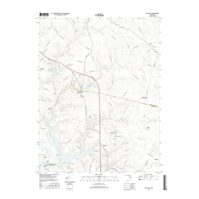
2016 Map of Wye Mills
USGS Topo · Published 2016About this map
Wye Mills sits at the heart of this landscape where the Wye River and its various branches define the geography of the Eastern Shore. The map documents a rural corridor along the Queen Anne's and Talbot county line, characterized by its historical cemeteries and educational institutions like Chesapeake Coll. Small crossroads communities such as Starr, Willoughby, and Skipton are connected by a network of farm roads and the prominent Ocean Gtwy.
Find a feature on this map
88 named features on this map. Tap any name to fly to it.
Don’t see what you’re looking for? This feature index may not catch every label — zoom into the map to look around manually.
Map Details
Editions of this 2016 Wye Mills Map
This is the sole edition of this map. No revisions or reprints were ever made.
Other maps of this area

1898 · Choptank
USGS Topo · 1:125,000

1898 · Tolchester
USGS Topo · 1:125,000

1899 · Dover
USGS Topo · 1:125,000

1901 · Chestertown
USGS Topo · 1:62,500

1903 · Tolchester
USGS Topo · 1:125,000

1904 · St. Michaels
USGS Topo · 1:62,500

1905 · Denton
USGS Topo · 1:62,500

1905 · Barclay
USGS Topo · 1:62,500

1906 · Dover
USGS Topo · 1:125,000

1908 · Tolchester
USGS Topo · 1:125,000