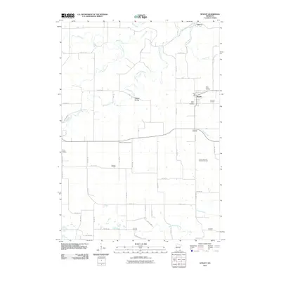
2010 Map of Wykoff
USGS Topo · Published 2010About this map
The town of Wykoff serves as a central hub in this agricultural landscape of southeastern Minnesota. Positioned along the eastern edge of the survey, the village is anchored by its local landmarks including the Wykoff Post Office, Saint Kilian's Cemetery, and Immanuel Cemetery. The surrounding countryside is defined by the winding paths of several waterways, such as Spring Valley Creek, Watson Creek, and Deer Creek, which drain toward the Middle Branch Root River and South Branch Root River.
Find a feature on this map
27 named features on this map. Tap any name to fly to it.
Don’t see what you’re looking for? This feature index may not catch every label — zoom into the map to look around manually.
Map Details
Editions of this 2010 Wykoff Map
This is the sole edition of this map. No revisions or reprints were ever made.
Other maps of this area

1954 · Chatfield
USGS Topo · 1:62,500

1954 · Mason City
USGS Topo · 1:250,000

1955 · Stewartville
USGS Topo · 1:62,500

1957 · Mason City
USGS Topo · 1:250,000

1958 · Mason City
USGS Topo · 1:250,000

1965 · Greenleafton
USGS Topo · 1:24,000

1965 · Wykoff
USGS Topo · 1:24,000

1965 · Spring Valley
USGS Topo · 1:24,000

1965 · Ostrander
USGS Topo · 1:24,000

1965 · Fountain
USGS Topo · 1:24,000