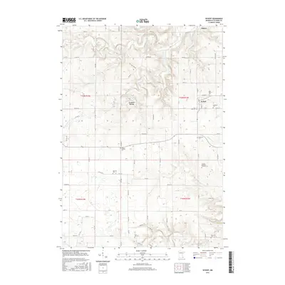
2016 Map of Wykoff
USGS Topo · Published 2016About this map
Wykoff sits at the intersection of a complex drainage network in Fillmore County, where the landscape is defined by the winding paths of Spring Valley Cr and Watson Cr. This 2016 survey highlights a deeply ingrained rural community structure, characterized by a high density of country burial grounds that trace the settlement patterns of early Minnesota townships. From Saint Kilian's Cem and Immanuel Cem in the north to the Lone Oak Cem and Forestville Cem further south, these sites anchor the family histories of the surrounding farmsteads. The terrain transitions toward the S Br Root River in the southeast, while natural features like Freheit Spring and the narrow valleys of Deer Cr and Bear Cr illustrate the hydrologic character of the region. The map also captures the layout of Fillmore, providing a precise record of local roads and land divisions.
Find a feature on this map
84 named features on this map. Tap any name to fly to it.
Don’t see what you’re looking for? This feature index may not catch every label — zoom into the map to look around manually.
Map Details
Editions of this 2016 Wykoff Map
This is the sole edition of this map. No revisions or reprints were ever made.
Other maps of this area

1954 · Chatfield
USGS Topo · 1:62,500

1954 · Mason City
USGS Topo · 1:250,000

1955 · Stewartville
USGS Topo · 1:62,500

1957 · Mason City
USGS Topo · 1:250,000

1958 · Mason City
USGS Topo · 1:250,000

1965 · Greenleafton
USGS Topo · 1:24,000

1965 · Wykoff
USGS Topo · 1:24,000

1965 · Spring Valley
USGS Topo · 1:24,000

1965 · Ostrander
USGS Topo · 1:24,000

1965 · Fountain
USGS Topo · 1:24,000