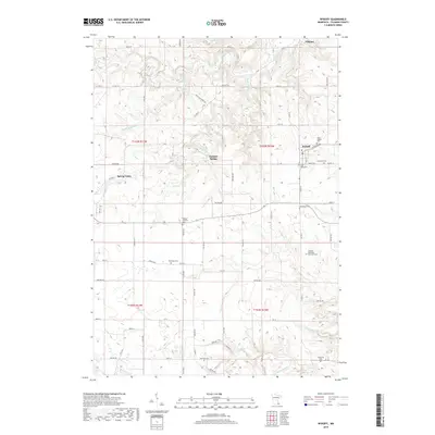
2019 Map of Wykoff
USGS Topo · Published 2019About this map
Spring Valley and Wykoff anchor this corner of Fillmore County, showing a landscape defined by deeply incised river valleys and a dense concentration of rural landmarks. The drainage network is particularly detailed, featuring the S Br Root River and its numerous tributaries including Spring Valley Cr, Watson Cr, and Forestville Cr. A notable geological feature, Freiheit Spring, is situated near the center of the survey area, indicating the karst-like hydrologic characteristics of this part of Minnesota.
Find a feature on this map
81 named features on this map. Tap any name to fly to it.
Don’t see what you’re looking for? This feature index may not catch every label — zoom into the map to look around manually.
Map Details
Editions of this 2019 Wykoff Map
This is the sole edition of this map. No revisions or reprints were ever made.
Other maps of this area

1954 · Chatfield
USGS Topo · 1:62,500

1954 · Mason City
USGS Topo · 1:250,000

1955 · Stewartville
USGS Topo · 1:62,500

1957 · Mason City
USGS Topo · 1:250,000

1958 · Mason City
USGS Topo · 1:250,000

1965 · Greenleafton
USGS Topo · 1:24,000

1965 · Wykoff
USGS Topo · 1:24,000

1965 · Spring Valley
USGS Topo · 1:24,000

1965 · Ostrander
USGS Topo · 1:24,000

1965 · Fountain
USGS Topo · 1:24,000