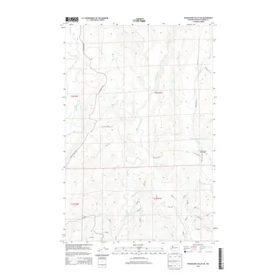
2014 Map of Wynoochee Valley NE
USGS Topo · Published 2014About this map
The Wynoochee River and its numerous tributaries dominate this drainage-heavy landscape in Grays Harbor County. This 2014 survey reveals an intricate network of logging and access roads that crisscross the terrain between the river valleys, including Wynoochee Rd W and the lengthy Cougar Smith Rd. The topography is defined by the parallel courses of the West Fork Satsop River, Canyon River, and Middle Fork Satsop River, which carve deep paths through the timberlands. While primarily a landscape of industry and water, specific infrastructure like the Cougar Smith Road Bridge provides a concrete point of reference for navigating the backcountry. Numerous smaller creeks such as Anderson Cr, Smith Cr, and Carter Cr feed into the larger river systems, illustrating the complex hydrology of the Olympic Peninsula foothills.
Find a feature on this map
44 named features on this map. Tap any name to fly to it.
Don’t see what you’re looking for? This feature index may not catch every label — zoom into the map to look around manually.
Map Details
Editions of this 2014 Wynoochee Valley NE Map
This is the sole edition of this map. No revisions or reprints were ever made.
Other maps of this area

1921 · Satsop
USGS Topo · 1:62,500

1941 · Mobray
USGS Topo · 1:62,500

1943 · Nahwatzel Lake
USGS Topo · 1:62,500

1943 · Mobray
USGS Topo · 1:62,500

1953 · Mt Tebo
USGS Topo · 1:62,500

1953 · Elma
USGS Topo · 1:62,500

1955 · Wynoochee Valley
USGS Topo · 1:62,500

1955 · Grisdale
USGS Topo · 1:62,500

1958 · Seattle
USGS Topo · 1:250,000

1962 · Seattle
USGS Topo · 1:250,000