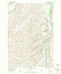
1967 Map of Wyola
USGS Topo · Published 1971About this map
The Crow Indian Reservation provides the setting for this mid-century topographic survey, focused on the drainage basins and valleys east of the Bighorn Mountains. The settlement of Wyola sits at the southern edge of the map, situated where the Chicago Burlington and Quincy railroad tracks parallel the winding course of the Little Bighorn River. This transport corridor is shared by the historic Bozeman Trail, which cuts across the landscape near the river valley.
Find a feature on this map
20 named features on this map. Tap any name to fly to it.
Don’t see what you’re looking for? This feature index may not catch every label — zoom into the map to look around manually.
Map Details
Editions of this 1967 Wyola Map
This is the sole edition of this map. No revisions or reprints were ever made.
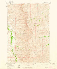
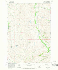
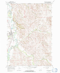
Other maps of this area

1894 · Rosebud
USGS Topo · 1:125,000

1894 · St. Xavier
USGS Topo · 1:125,000

1901 · Rosebud
USGS Topo · 1:125,000

1901 · St. Xavier
USGS Topo · 1:125,000

1954 · Hardin
USGS Topo · 1:250,000

1957 · Hardin
USGS Topo · 1:250,000

1958 · Hardin
USGS Topo · 1:250,000
1960 · Schick Ranch
USGS Topo · 1:24,000
1967 · Wyola NE
USGS Topo · 1:24,000
1967 · Lodge Grass
USGS Topo · 1:24,000