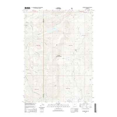
2015 Map of Wyoming Peak
USGS Topo · Published 2015About this map
Wyoming Peak and the high ridges of the Wyoming Range define this 2015 study of the Bridger National Forest. The landscape is a complex drainage basin for the S Piney Creek and Fish Creek systems, characterized by high-elevation landmarks like Mt Darby and Fish Creek Mtn. Water is central to the area's geography, with Middle Piney Lake situated in a high basin and several cascades including Wahido Falls and Lewis Falls marking the steep descent of mountain streams. The map traces the Wyoming Range NRT Section C and other National Recreation Trail segments, highlighting the area's role as a protected wilderness. Significant topographical transitions are noted at Cheese Pass and through the deep cuts of Burney Canyon and Prospect Canyon, providing a clear look at the geological structure of Lincoln and Sublette counties.
Find a feature on this map
42 named features on this map. Tap any name to fly to it.
Don’t see what you’re looking for? This feature index may not catch every label — zoom into the map to look around manually.
Map Details
Editions of this 2015 Wyoming Peak Map
This is the sole edition of this map. No revisions or reprints were ever made.
Other maps of this area

1921 · Afton
USGS Topo · 1:125,000

1936 · Cokeville
USGS Topo · 1:96,000

1939 · Big Piney
USGS Topo · 1:125,000

1942 · Cokeville
USGS Topo · 1:125,000

1942 · Big Piney
USGS Topo · 1:125,000

1955 · Preston
USGS Topo · 1:250,000

1958 · Preston
USGS Topo · 1:250,000

1962 · Preston
USGS Topo · 1:250,000

1967 · Graham Peak
USGS Topo · 1:24,000

1967 · Mount Thompson
USGS Topo · 1:24,000