
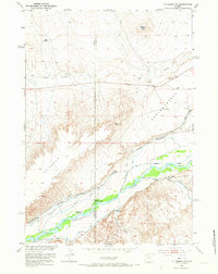
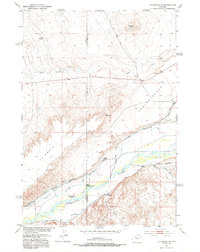
1951 Map of Y U Bench NE
USGS Topo · Published 1953About this map
The Greybull River valley serves as a vital corridor for irrigation and settlement in this Wyoming landscape, mapped just as post-war water development programs were reshaping the Missouri River Basin. The intricate network of gravity-fed water systems, including the Meeteetse Ditch, Old Smith Ditch, and Burlington Canal, illustrates the heavy reliance on mountain runoff to transform the arid flats of Y U Bench and Emblem Bench into productive ranchland.
Find a feature on this map
28 named features on this map. Tap any name to fly to it.
Don’t see what you’re looking for? This feature index may not catch every label — zoom into the map to look around manually.
Map Details
Editions of this 1951 Y U Bench NE Map
3 editions found
Other maps of this area

1951 · Burlington
USGS Topo · 1:24,000

1951 · Y U Bench NW
USGS Topo · 1:24,000

1951 · Sheep Mountain
USGS Topo · 1:24,000

1951 · Tatman Mountain
USGS Topo · 1:24,000

1951 · Sheets Flat
USGS Topo · 1:24,000

1955 · Cody
USGS Topo · 1:250,000

1958 · Cody
USGS Topo · 1:250,000

1962 · Cody
USGS Topo · 1:250,000

1966 · Gilmore Hill SE
USGS Topo · 1:24,000

1966 · Gilmore Hill
USGS Topo · 1:24,000