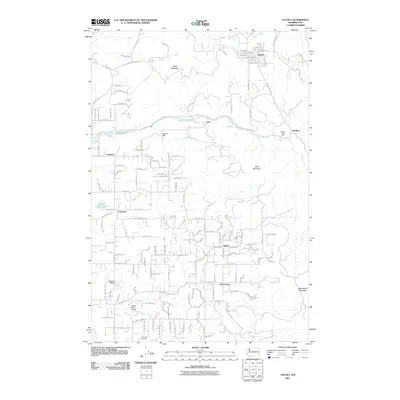
2011 Map of Yacolt
USGS Topo · Published 2011About this map
Yacolt sits at the northern edge of this detailed 2011 survey, overlooking a landscape defined by the winding course of the East Fork Lewis River. This river corridor serves as a primary geographical anchor, featuring several significant natural and man-made landmarks including Lucia Falls, Moulton Falls, and the Homola Dam. To the south, the settlement of Venersborg is surrounded by a network of local creeks such as Salmon Creek and Little Salmon Creek, reflecting the area's complex drainage pattern.
Find a feature on this map
141 named features on this map. Tap any name to fly to it.
Don’t see what you’re looking for? This feature index may not catch every label — zoom into the map to look around manually.
Map Details
Editions of this 2011 Yacolt Map
This is the sole edition of this map. No revisions or reprints were ever made.
Other maps of this area

1897 · Portland
USGS Topo · 1:62,500

1905 · Portland
USGS Topo · 1:62,500

1918 · Troutdale
USGS Topo · 1:62,500

1934 · Troutdale
USGS Topo · 1:48,000

1940 · Portland
USGS Topo · 1:62,500

1940 · La Center
USGS Topo · 1:62,500

1941 · Yacolt
USGS Topo · 1:62,500

1941 · Camas
USGS Topo · 1:62,500

1942 · Camas
USGS Topo · 1:62,500

1948 · Vancouver
USGS Topo · 1:250,000