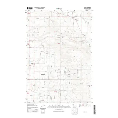
2013 Map of Yacolt
USGS Topo · Published 2013About this map
Yacolt and the surrounding timberlands of Clark County are defined by a complex drainage system feeding into the East Fork Lewis River. This 2013 survey illustrates the interface between rural residential settlements and the high ridges of Yacolt Mtn and Bells Mtn. To the south, established communities like Hockinson and Venersborg are situated near the headwaters of Salmon Cr, where smaller landmarks like Finn Hill Cem provide tangible links for local genealogists.
Find a feature on this map
145 named features on this map. Tap any name to fly to it.
Don’t see what you’re looking for? This feature index may not catch every label — zoom into the map to look around manually.
Map Details
Editions of this 2013 Yacolt Map
This is the sole edition of this map. No revisions or reprints were ever made.
Other maps of this area

1897 · Portland
USGS Topo · 1:62,500

1905 · Portland
USGS Topo · 1:62,500

1918 · Troutdale
USGS Topo · 1:62,500

1934 · Troutdale
USGS Topo · 1:48,000

1940 · Portland
USGS Topo · 1:62,500

1940 · La Center
USGS Topo · 1:62,500

1941 · Yacolt
USGS Topo · 1:62,500

1941 · Camas
USGS Topo · 1:62,500

1942 · Camas
USGS Topo · 1:62,500

1948 · Vancouver
USGS Topo · 1:250,000