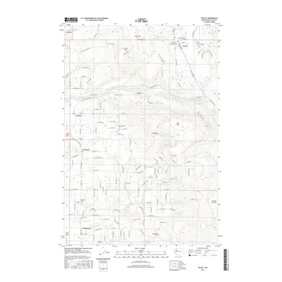
2017 Map of Yacolt
USGS Topo · Published 2017About this map
Yacolt sits at the northern edge of this Clark County landscape, where the foothills of the Cascades meet the drainage basins of the East Fork Lewis River. The terrain is defined by significant elevations such as Yacolt Mtn and Bells Mtn, which frame a network of waterways including Cedar Cr and Basker Cr. The map documents a mix of rural residential development and natural landmarks, most notably the recreation and conservation areas surrounding Moulton Falls and Lucia Falls.
Find a feature on this map
143 named features on this map. Tap any name to fly to it.
Don’t see what you’re looking for? This feature index may not catch every label — zoom into the map to look around manually.
Map Details
Editions of this 2017 Yacolt Map
This is the sole edition of this map. No revisions or reprints were ever made.
Other maps of this area

1897 · Portland
USGS Topo · 1:62,500

1905 · Portland
USGS Topo · 1:62,500

1918 · Troutdale
USGS Topo · 1:62,500

1934 · Troutdale
USGS Topo · 1:48,000

1940 · Portland
USGS Topo · 1:62,500

1940 · La Center
USGS Topo · 1:62,500

1941 · Yacolt
USGS Topo · 1:62,500

1941 · Camas
USGS Topo · 1:62,500

1942 · Camas
USGS Topo · 1:62,500

1948 · Vancouver
USGS Topo · 1:250,000