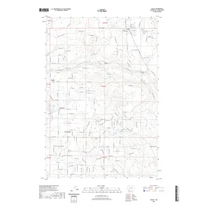
2020 Map of Yacolt
USGS Topo · Published 2020About this map
The town of Yacolt sits at the northern end of this landscape, where the Chelatchie Prairie RR winds through a terrain defined by the descent toward the East Fork Lewis River. This 2020 map documents a region characterized by scattered rural settlements and significant water features, including the distinct Lucia Falls and Moulton Falls. To the south, the community of Venersborg and the Gravel Point area show the transition from the high slopes of Yacolt Mtn and Bells Mtn into more established agricultural and residential pockets. Genealogists and local historians can locate specific sites such as the Gravel Point Cem and Finn Hill Cem, while the inclusion of the Chelatchie Prairie RR provides a record of the area's rail heritage. The presence of Battle Ground Lake and several named falls suggests a landscape where natural landmarks have long dictated the placement of roads like NE Lucia Falls Rd.
Find a feature on this map
146 named features on this map. Tap any name to fly to it.
Don’t see what you’re looking for? This feature index may not catch every label — zoom into the map to look around manually.
Map Details
Editions of this 2020 Yacolt Map
This is the sole edition of this map. No revisions or reprints were ever made.
Other maps of this area

1897 · Portland
USGS Topo · 1:62,500

1905 · Portland
USGS Topo · 1:62,500

1918 · Troutdale
USGS Topo · 1:62,500

1934 · Troutdale
USGS Topo · 1:48,000

1940 · Portland
USGS Topo · 1:62,500

1940 · La Center
USGS Topo · 1:62,500

1941 · Yacolt
USGS Topo · 1:62,500

1941 · Camas
USGS Topo · 1:62,500

1942 · Camas
USGS Topo · 1:62,500

1948 · Vancouver
USGS Topo · 1:250,000