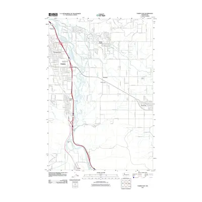
2011 Map of Yakima East
USGS Topo · Published 2011About this map
The Yakima urban center and the fertile Moxee Valley are documented here in the early 21st century, revealing a landscape defined by the intricate management of water. The Yakima River bisects the terrain, its flow regulated by the Cascade Mill Pond Dam and Wapato Dam. A network of historic waterworks, including the Moxee Canal, the Selah Moxee Irrigation Canal, and Hubbard Ditch, illustrates the engineering required to sustain agriculture in this part of Washington.
Find a feature on this map
84 named features on this map. Tap any name to fly to it.
Don’t see what you’re looking for? This feature index may not catch every label — zoom into the map to look around manually.
Map Details
Editions of this 2011 Yakima East Map
This is the sole edition of this map. No revisions or reprints were ever made.
Other maps of this area

1899 · Ellensburg
USGS Topo · 1:125,000

1901 · Ellensburg
USGS Topo · 1:125,000

1910 · Zillah
USGS Topo · 1:125,000

1936 · Yakima East
USGS Topo · 1:48,000

1937 · White Swan
USGS Topo · 1:125,000

1941 · Yakima East
USGS Topo · 1:62,500

1950 · Yakima
USGS Topo · 1:250,000

1953 · Pomona
USGS Topo · 1:24,000

1953 · Elephant Mountain
USGS Topo · 1:24,000

1953 · Yakima East
USGS Topo · 1:24,000