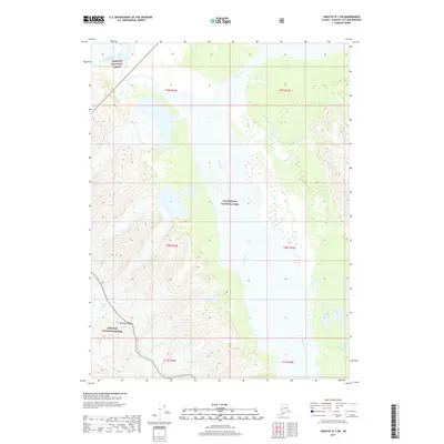
2017 Map of Yakutat B-1 SW
USGS Topo · Published 2017About this map
The Alsek River dominates this portion of the Alaskan coast, cutting a wide alluvial path between significant protected federal lands. The eastern portion of the map is defined by the boundary of Glacier Bay National Park, while the western terrain rises into the Brabazon Range, part of the Tongass National Forest. This 2017 survey illustrates the dynamic glacial landscape where the Canyon Glacier flows toward the river valley. The absence of roads or settlements underscores the wilderness character of this region, where the primary geographical features are defined by massive ice structures and the shifting course of the river as it moves toward the Gulf of Alaska. Researchers can examine the precise boundaries of the National Forest and National Park as they meet in this remote corridor.
Find a feature on this map
11 named features on this map. Tap any name to fly to it.
Don’t see what you’re looking for? This feature index may not catch every label — zoom into the map to look around manually.
Map Details
Editions of this 2017 Yakutat B-1 SW Map
This is the sole edition of this map. No revisions or reprints were ever made.
Other maps of this area

1951 · Yakutat
USGS Topo · 1:250,000

1959 · Yakutat A-1
USGS Topo · 1:63,360

1959 · Yakutat A-2
USGS Topo · 1:63,360

1959 · Yakutat B-2
USGS Topo · 1:63,360

1959 · Yakutat B-1
USGS Topo · 1:63,360

1959 · Yakutat
USGS Topo · 1:250,000

1997 · Yakutat B-1
USGS Topo · 1:63,360
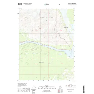
2017 · Yakutat A-1 NW
USGS Topo · 1:25,000
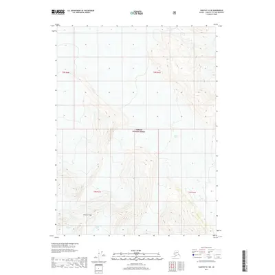
2017 · Yakutat B-2 NE
USGS Topo · 1:25,000
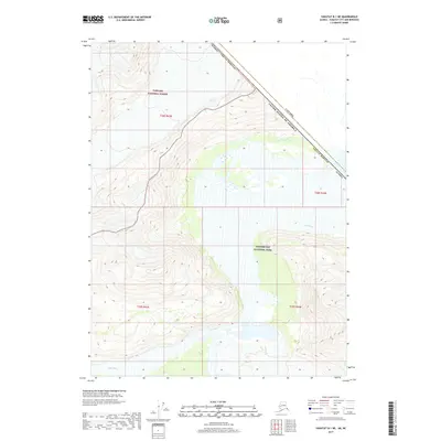
2017 · Yakutat B-1 NE
USGS Topo · 1:25,000