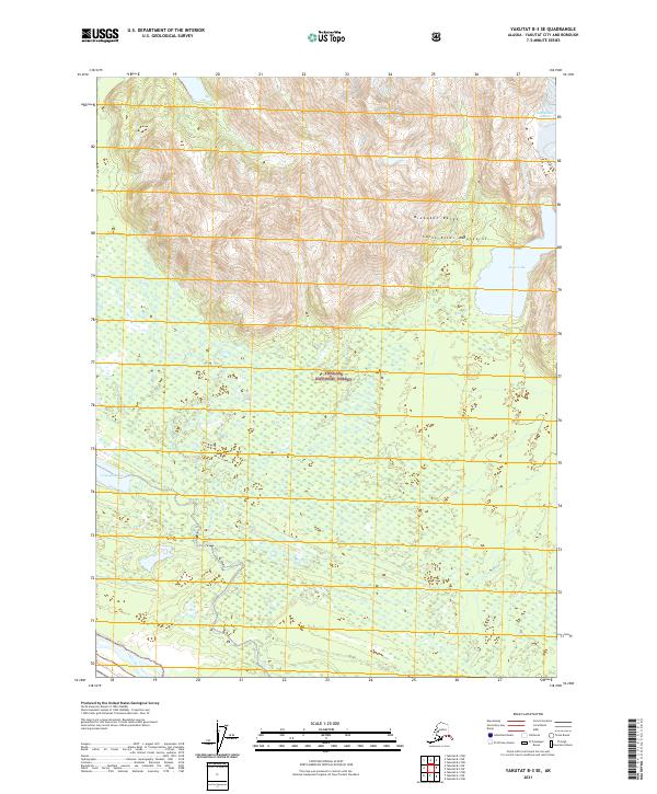
2021 Map of Yakutat B-3 SE
USGS Topo · Published 2021About this map
The Brabazon Range dominates the northern half of this coastal Alaskan landscape, part of the larger Saint Elias Mountains chain. Much of the southern terrain is defined by the low-lying wetlands and glacial outwash plains of the Tongass National Forest. Hydrological patterns are central to this area, where the Akwe River winds through the flats after emerging from Akwe Lake at the foot of the mountains. The transition from the high, ice-carved peaks to the alluvial marshlands near Triangle Lake illustrates the dynamic nature of this subarctic wilderness. This map provides a clear record of these drainage systems and topographical shifts in a region where shifting glacial sediments and seasonal water flow constantly reshape the physical geography.
Find a feature on this map
12 named features on this map. Tap any name to fly to it.
Don’t see what you’re looking for? This feature index may not catch every label — zoom into the map to look around manually.
Map Details
Editions of this 2021 Yakutat B-3 SE Map
This is the sole edition of this map. No revisions or reprints were ever made.
Other maps of this area

1951 · Yakutat
USGS Topo · 1:250,000

1959 · Yakutat A-2
USGS Topo · 1:63,360
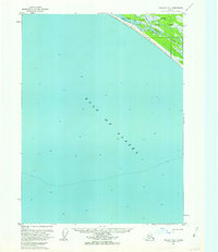
1959 · Yakutat A-3
USGS Topo · 1:63,360

1959 · Yakutat B-3
USGS Topo · 1:63,360

1959 · Yakutat B-2
USGS Topo · 1:63,360

1959 · Yakutat
USGS Topo · 1:250,000
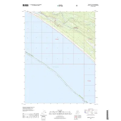
2017 · Yakutat A-3 NE
USGS Topo · 1:25,000
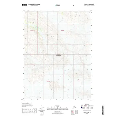
2017 · Yakutat B-2 NW
USGS Topo · 1:25,000
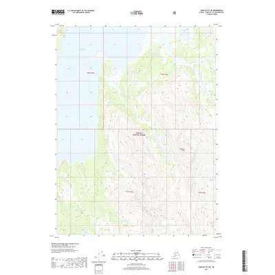
2017 · Yakutat B-3 NE
USGS Topo · 1:25,000
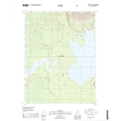
2017 · Yakutat B-3 NW
USGS Topo · 1:25,000