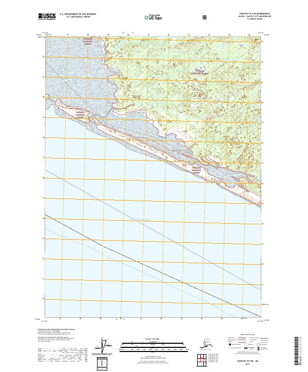
2021 Map of Yakutat B-4 SE
USGS Topo · Published 2021About this map
Tongass National Forest dominates this coastal landscape where the Alaskan wilderness meets the open sea. This 2021 survey of the Yakutat region captures a dynamic shoreline defined by the massive expanse of the Gulf of Alaska. The interior is characterized by dense wetlands and forest, navigated primarily through a specific network of trails rather than developed roads. These include the Mid Italio Trl, Mid Italio Loop Trl, and the Mid Italio Spur Aa Trl, which provide access through the protected federal lands. The map illustrates the intersection of maritime exposure and terrestrial conservation, preserving the specific trail routes used by those navigating this part of the City and Borough of Yakutat.
Find a feature on this map
9 named features on this map. Tap any name to fly to it.
Don’t see what you’re looking for? This feature index may not catch every label — zoom into the map to look around manually.
Map Details
Editions of this 2021 Yakutat B-4 SE Map
This is the sole edition of this map. No revisions or reprints were ever made.
Other maps of this area

1951 · Yakutat
USGS Topo · 1:250,000
1959 · Yakutat A-3
USGS Topo · 1:63,360

1959 · Yakutat B-3
USGS Topo · 1:63,360

1959 · Yakutat B-4
USGS Topo · 1:63,360

1959 · Yakutat
USGS Topo · 1:250,000
1987 · Yakutat B-4 NW
USGS Topo · 1:25,000
2017 · Yakutat B-4 NE
USGS Topo · 1:25,000
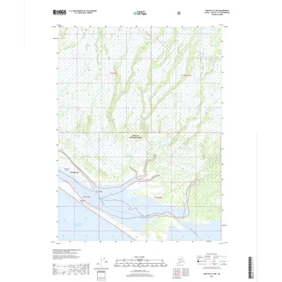
2017 · Yakutat B-4 NW
USGS Topo · 1:25,000
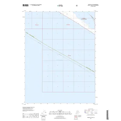
2017 · Yakutat B-4 SW
USGS Topo · 1:25,000
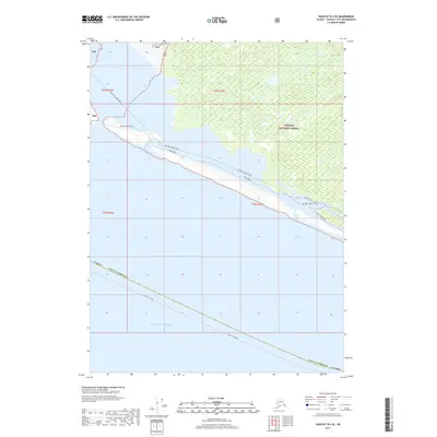
2017 · Yakutat B-4 SE
USGS Topo · 1:25,000