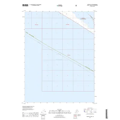
2017 Map of Yakutat B-4 SW
USGS Topo · Published 2017About this map
Tongass National Forest meets the northern reaches of the Gulf of Alaska in this coastal Alaskan landscape. The map highlights a remote maritime boundary where the Yakutat Borough and Yakutat Juneau lines intersect over open water and rugged shoreline. The coastal topography is defined by the Dry Bay Canoe Trail, which follows the narrow strip of land between the sea and the expansive protected forest. This 2017 survey by the U.S. Geological Survey captures a sparsely populated wilderness where transport is limited to specialized trails and water routes, illustrating the isolation of this portion of the Gulf coast.
Find a feature on this map
9 named features on this map. Tap any name to fly to it.
Don’t see what you’re looking for? This feature index may not catch every label — zoom into the map to look around manually.
Map Details
Editions of this 2017 Yakutat B-4 SW Map
This is the sole edition of this map. No revisions or reprints were ever made.
Other maps of this area

1951 · Yakutat
USGS Topo · 1:250,000

1959 · Yakutat B-5
USGS Topo · 1:63,360

1959 · Yakutat B-4
USGS Topo · 1:63,360

1959 · Yakutat
USGS Topo · 1:250,000
1987 · Yakutat B-5 NE
USGS Topo · 1:25,000
1987 · Yakutat B-4 NW
USGS Topo · 1:25,000
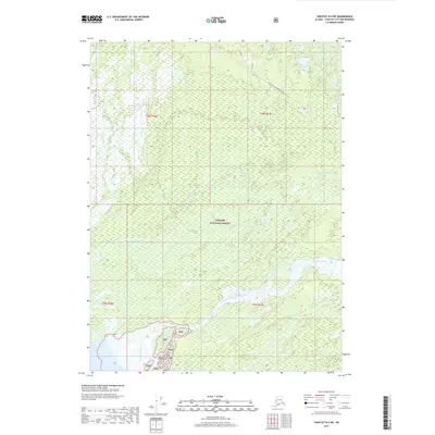
2017 · Yakutat B-4 NE
USGS Topo · 1:25,000
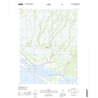
2017 · Yakutat B-4 NW
USGS Topo · 1:25,000
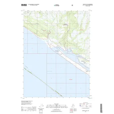
2017 · Yakutat B-5 NE
USGS Topo · 1:25,000
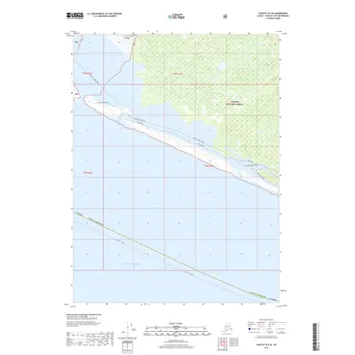
2017 · Yakutat B-4 SE
USGS Topo · 1:25,000