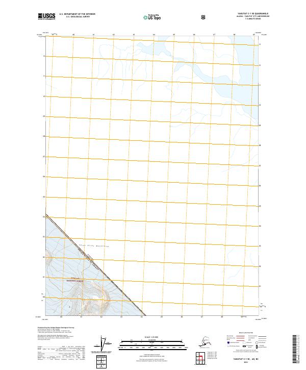
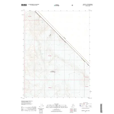
2021 Map of Yakutat C-1 SE
USGS Topo · Published 2021About this map
The Saint Elias Mountains dominate this high-latitude terrain, where the United States-Canada boundary bisects a wilderness of glacial remnants and steep drainage patterns. This 2021 survey illustrates the northwestern edge of the Tongass National Forest, a region defined more by its massive physical landforms and international border than by human infrastructure. The scarcity of named landmarks underscores the remote nature of this corner of Alaska, where topographic contours trace the slow movement of ice and the erosion of ancient peaks. For researchers of the northern frontier, this sheet provides a precise accounting of the international line as it traverses the high peaks and valleys of the coast range.
Find a feature on this map
5 named features on this map. Tap any name to fly to it.
Don’t see what you’re looking for? This feature index may not catch every label — zoom into the map to look around manually.
Map Details
Editions of this 2021 Yakutat C-1 SE Map
This is the sole edition of this map. No revisions or reprints were ever made.
Other maps of this area

1951 · Yakutat
USGS Topo · 1:250,000

1952 · Skagway
USGS Topo · 1:250,000

1959 · Yakutat B-1
USGS Topo · 1:63,360

1959 · Yakutat
USGS Topo · 1:250,000
1961 · Skagway B-8
USGS Topo · 1:63,360

1961 · Skagway
USGS Topo · 1:250,000
1985 · Yakutat C-1
USGS Topo · 1:63,360

1997 · Yakutat B-1
USGS Topo · 1:63,360
2017 · Yakutat C-1 NW
USGS Topo · 1:25,000
2017 · Yakutat C-1 SW
USGS Topo · 1:25,000