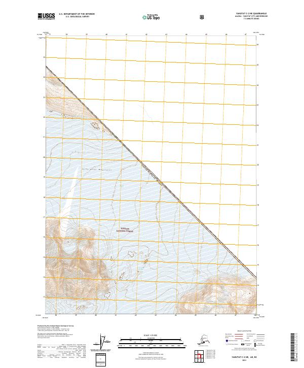
2021 Map of Yakutat C-2 NE
USGS Topo · Published 2021About this map
Saint Elias Mountains terrain dominates this high-altitude border region where the northwestern edge of the Tongass National Forest meets the international boundary. The topographic detail focuses on the formidable ice and rock of the Novarak Glacier, which occupies the central portion of the quadrangle. The map documents the precise alignment of the Canada United States of America border as it cuts diagonally across the mountain range, bisecting glaciers and peaks. This 2021 survey provides a modern record of the glacial extent and land management boundaries within the Yakutat City and Borough, illustrating the stark geography of the Alaskan panhandle's interior.
Find a feature on this map
9 named features on this map. Tap any name to fly to it.
Don’t see what you’re looking for? This feature index may not catch every label — zoom into the map to look around manually.
Map Details
Editions of this 2021 Yakutat C-2 NE Map
This is the sole edition of this map. No revisions or reprints were ever made.
Other maps of this area

1951 · Yakutat
USGS Topo · 1:250,000

1959 · Yakutat
USGS Topo · 1:250,000
1985 · Yakutat C-1
USGS Topo · 1:63,360

1985 · Yakutat C-2
USGS Topo · 1:63,360
1985 · Yakutat D-2
USGS Topo · 1:63,360
2017 · Yakutat C-1 NW
USGS Topo · 1:25,000
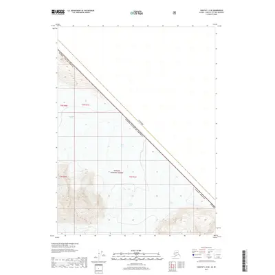
2017 · Yakutat C-2 NE
USGS Topo · 1:25,000
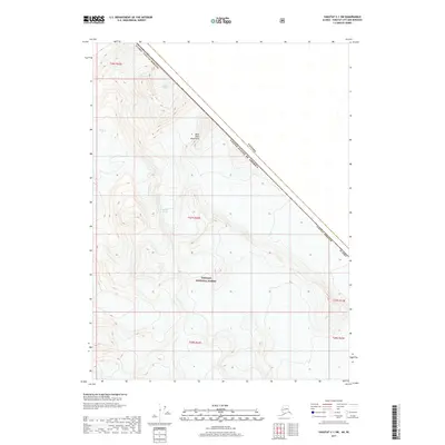
2017 · Yakutat C-1 SW
USGS Topo · 1:25,000
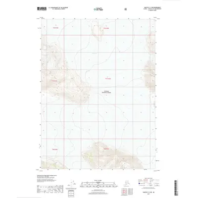
2017 · Yakutat C-2 SW
USGS Topo · 1:25,000
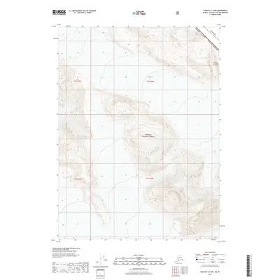
2017 · Yakutat C-2 NW
USGS Topo · 1:25,000