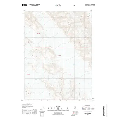
2017 Map of Yakutat C-3 NE
USGS Topo · Published 2017About this map
Tongass National Forest dominates the interior of this coastal Alaskan landscape, where the movement of massive ice fields continues to carve the terrain. The topography is defined by significant glacial activity, with the Yakutat Glacier spreading across the southern portions of the quadrangle. High elevation ridges separate several distinct glacial systems, including Hidden Glacier to the west and the neighboring West Nunatak Glacier and East Nunatak Glacier to the north. These massive rivers of ice are the primary architects of the landscape, flowing between steep contour lines that illustrate the dramatic vertical rise of the surrounding mountains within the forest's boundaries. This 2017 survey by the U.S. Geological Survey provides an essential record of these ice features, capturing their extent and relationship to the surrounding peaks.
Find a feature on this map
9 named features on this map. Tap any name to fly to it.
Don’t see what you’re looking for? This feature index may not catch every label — zoom into the map to look around manually.
Map Details
Editions of this 2017 Yakutat C-3 NE Map
This is the sole edition of this map. No revisions or reprints were ever made.
Other maps of this area

1951 · Yakutat
USGS Topo · 1:250,000

1959 · Yakutat C-3
USGS Topo · 1:63,360

1959 · Yakutat D-3
USGS Topo · 1:63,360

1959 · Yakutat
USGS Topo · 1:250,000

1985 · Yakutat C-2
USGS Topo · 1:63,360
1985 · Yakutat D-2
USGS Topo · 1:63,360
2017 · Yakutat C-3 SW
USGS Topo · 1:25,000
2017 · Yakutat C-3 SE
USGS Topo · 1:25,000
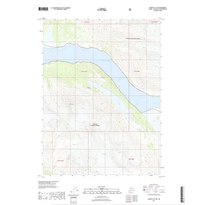
2017 · Yakutat D-3 SW
USGS Topo · 1:25,000
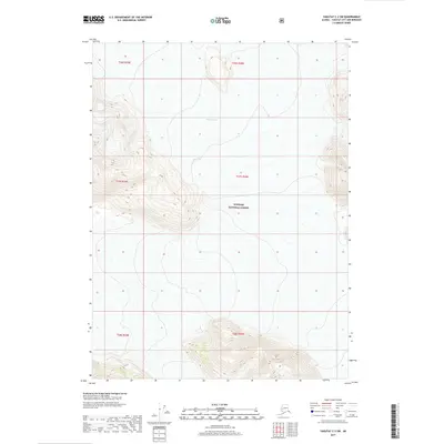
2017 · Yakutat C-2 SW
USGS Topo · 1:25,000