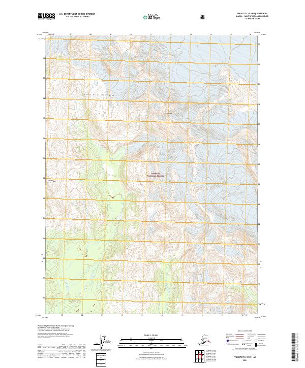
2021 Map of Yakutat C-3 SW
USGS Topo · Published 2021About this map
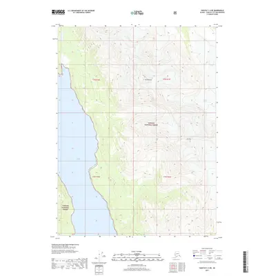
The Saint Elias Mountains define the high-altitude geography of this 2021 survey, where the massive South Glacier and Moser Glacier flow through the interior of the Tongass National Forest. This sub-quadrangle records a landscape of extreme topographic relief, transitioning from icy peaks like Slate Peak and Crescent Mtn to the drainage basins of the Ahrnklin River. The hydrological patterns here are particularly distinct, with Moser Cr and Miller Cr carving through the glaciated terrain south of the major ice fields. As a modern record of the Alaska Yakutat region, the map documents the relationship between permanent ice, seasonal snowfields, and the emerging river systems that feed into the Gulf of Alaska coastal plains.
Find a feature on this map
15 named features on this map. Tap any name to fly to it.
Don’t see what you’re looking for? This feature index may not catch every label — zoom into the map to look around manually.
Map Details
Editions of this 2021 Yakutat C-3 SW Map
This is the sole edition of this map. No revisions or reprints were ever made.
Other maps of this area

1951 · Yakutat
USGS Topo · 1:250,000

1959 · Yakutat C-3
USGS Topo · 1:63,360

1959 · Yakutat C-4
USGS Topo · 1:63,360

1959 · Yakutat B-3
USGS Topo · 1:63,360

1959 · Yakutat B-4
USGS Topo · 1:63,360

1959 · Yakutat
USGS Topo · 1:250,000
1987 · Yakutat C-4 SE
USGS Topo · 1:25,000
1997 · Yakutat C-4
USGS Topo · 1:63,360
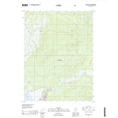
2017 · Yakutat B-4 NE
USGS Topo · 1:25,000
2017 · Yakutat C-4 NE
USGS Topo · 1:25,000