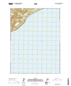
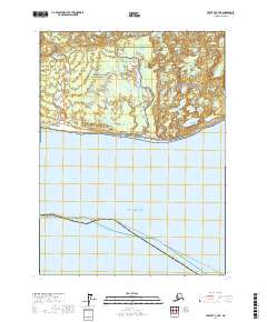
2017 Map of Yakutat C-6 NW
USGS Topo · Published 2017About this map
The wild coastline where the Saint Elias Mountains meet the Gulf of Alaska is meticulously charted in this modern survey. The map's upper portion is dominated by the southeastern reach of Wrangell-Saint Elias National Park and the adjacent Wrangell-Saint Elias National Preserve, a massive protected landscape defined by glacial runoff and coastal plains. Several distinct waterways, including Oar Stream, Osar Stream, and Forney Stream, drain from the northern highlands toward the sea. The geography here is largely uninhabited, characterized by the shifting boundary between the North Pacific and the vast Alaskan wilderness, with the survey capturing the exact shoreline and hydrography as they appeared in the early 21st century.
Find a feature on this map
10 named features on this map. Tap any name to fly to it.
Don’t see what you’re looking for? This feature index may not catch every label — zoom into the map to look around manually.
Map Details
Editions of this 2017 Yakutat C-6 NW Map
This is the sole edition of this map. No revisions or reprints were ever made.
Other maps of this area

1951 · Yakutat
USGS Topo · 1:250,000

1959 · Yakutat
USGS Topo · 1:250,000
1985 · Yakutat D-6
USGS Topo · 1:63,360
1985 · Yakutat C-6
USGS Topo · 1:63,360
1985 · Yakutat C-7
USGS Topo · 1:63,360
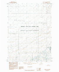
1985 · Yakutat D-7
USGS Topo · 1:63,360
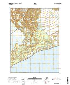
2017 · Yakutat D-6 SE
USGS Topo · 1:25,000
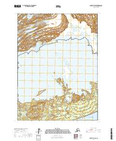
2017 · Yakutat D-6 SW
USGS Topo · 1:25,000
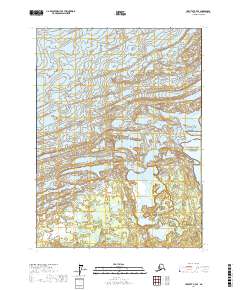
2017 · Yakutat D-7 SE
USGS Topo · 1:25,000
2017 · Yakutat C-7 NE
USGS Topo · 1:25,000