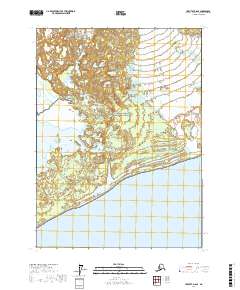
2017 Map of Yakutat D-6 SE
USGS Topo · Published 2017About this map
Wrangell-Saint Elias National Park and the adjacent Wrangell-Saint Elias National Preserve dominate this coastal landscape where the Alaskan wilderness meets the Pacific. The terrain is defined by complex hydrological systems, including the large expanse of Malaspina Lake and the braided channels of the Grand Wash River. To the south, the shoreline opens into the vast waters of Yakutat Bay, fed by glacial runoff through Sudden Stream and Kame Stream. The presence of Strawberry Island near the eastern margin suggests a shifting coastal morphology characteristic of this glaciated region. This survey captures a remote wilderness area focused on natural preservation and the dynamic interface between freshwater glacial output and the sea, providing a detailed look at the township and range lines across this protected territory.
Find a feature on this map
13 named features on this map. Tap any name to fly to it.
Don’t see what you’re looking for? This feature index may not catch every label — zoom into the map to look around manually.
Map Details
Editions of this 2017 Yakutat D-6 SE Map
This is the sole edition of this map. No revisions or reprints were ever made.
Other maps of this area

1951 · Yakutat
USGS Topo · 1:250,000

1959 · Yakutat C-5
USGS Topo · 1:63,360

1959 · Yakutat D-5
USGS Topo · 1:63,360

1959 · Yakutat
USGS Topo · 1:250,000
1985 · Yakutat D-6
USGS Topo · 1:63,360
1985 · Yakutat C-6
USGS Topo · 1:63,360
1996 · Yakutat C-5
USGS Topo · 1:63,360
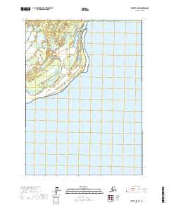
2017 · Yakutat D-5 SW
USGS Topo · 1:25,000
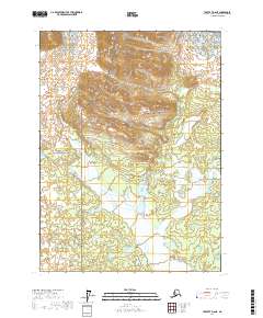
2017 · Yakutat D-6 NE
USGS Topo · 1:25,000
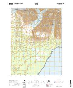
2017 · Yakutat D-5 NW
USGS Topo · 1:25,000