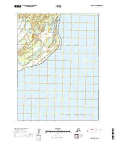
2017 Map of Yakutat D-5 SW
USGS Topo · Published 2017About this map
Wrangell-Saint Elias National Preserve encompasses much of this coastal landscape where glacial outwash and tidal waters meet. The terrain is defined by the braided channels of the Grand Wash River, which flows across a low-lying alluvial plain toward the expansive waters of Yakutat Bay. This environment is characterized by shifting sandbars and marshes, punctuated by landforms like Strawberry Island and the coastal marker of Blizhni Point. The map reflects the late twentieth and early twenty-first-century focus on conservation and environmental monitoring in this remote part of Alaska, where the natural movement of water and ice continually reshapes the shoreline.
Find a feature on this map
10 named features on this map. Tap any name to fly to it.
Don’t see what you’re looking for? This feature index may not catch every label — zoom into the map to look around manually.
Map Details
Editions of this 2017 Yakutat D-5 SW Map
This is the sole edition of this map. No revisions or reprints were ever made.
Other maps of this area

1951 · Yakutat
USGS Topo · 1:250,000

1959 · Yakutat C-5
USGS Topo · 1:63,360

1959 · Yakutat D-5
USGS Topo · 1:63,360

1959 · Yakutat
USGS Topo · 1:250,000
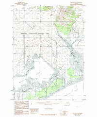
1985 · Yakutat D-6
USGS Topo · 1:63,360
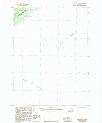
1985 · Yakutat C-6
USGS Topo · 1:63,360
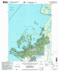
1996 · Yakutat C-5
USGS Topo · 1:63,360
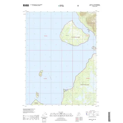
2017 · Yakutat C-5 NE
USGS Topo · 1:25,000
2017 · Yakutat D-6 NE
USGS Topo · 1:25,000
2017 · Yakutat D-6 SE
USGS Topo · 1:25,000