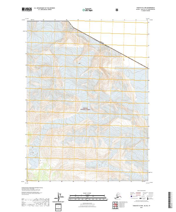
2021 Map of Yakutat D-3 NW
USGS Topo · Published 2021About this map
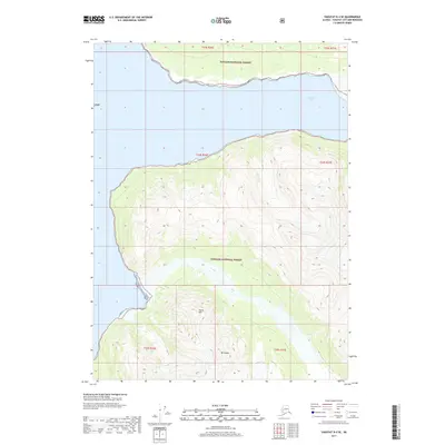
Glacial ice and high-altitude peaks dominate this portion of the Saint Elias Mountains along the international boundary between Alaska and Canada. The landscape is defined by massive ice flows, including the Variegated Glacier and Fisher Glacier, which carve through the terrain within the northern reaches of the Tongass National Forest. Near the northern edge of the sheet, Mt Jette rises as a prominent landmark along the border line. This 2021 survey provides a contemporary view of the region's complex cryosphere, showing the modern extent of named ice bodies like the Art Lewis Glacier and Oily Glacier. The map illustrates the extreme topography of the coastal range, where ice-filled valleys and sharp ridges are the primary geographic features, largely devoid of human infrastructure or permanent settlements.
Find a feature on this map
12 named features on this map. Tap any name to fly to it.
Don’t see what you’re looking for? This feature index may not catch every label — zoom into the map to look around manually.
Map Details
Editions of this 2021 Yakutat D-3 NW Map
This is the sole edition of this map. No revisions or reprints were ever made.
Other maps of this area

1951 · Yakutat
USGS Topo · 1:250,000

1951 · Mt Saint Elias
USGS Topo · 1:250,000

1959 · Yakutat D-3
USGS Topo · 1:63,360

1959 · Yakutat D-4
USGS Topo · 1:63,360

1959 · Yakutat
USGS Topo · 1:250,000

1959 · Mt Saint Elias
USGS Topo · 1:250,000
1985 · Mount Saint Elias A-4
USGS Topo · 1:63,360
1985 · Mount Saint Elias A-3
USGS Topo · 1:63,360
2017 · Mount Saint Elias A-4 SE
USGS Topo · 1:25,000
2017 · Yakutat D-4 SE
USGS Topo · 1:25,000