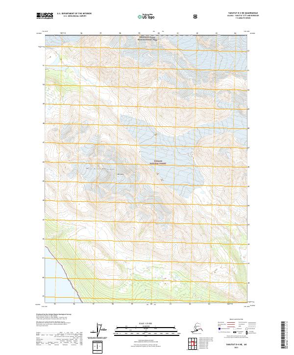
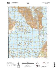
2021 Map of Yakutat D-4 NE
USGS Topo · Published 2021About this map
Wrangell-Saint Elias National Park and Tongass National Forest meet in this high-altitude coastal landscape, where the massive ice fields of the Saint Elias Mountains dominate the interior. The map illustrates a transitional wilderness where the towering peaks of the range, including Mt Stamy, descend toward the Pacific coastline. This area is characterized by immense glacial activity, notably the southern reaches of Butler Glacier, which carves through the protected forest lands. The lack of roads or established settlements highlights the remote character of the Alaska-Yakutat City and Borough border, where the environment is defined entirely by the movement of ice and the sharp elevation changes of the coastal mountains.
Find a feature on this map
9 named features on this map. Tap any name to fly to it.
Don’t see what you’re looking for? This feature index may not catch every label — zoom into the map to look around manually.
Map Details
Editions of this 2021 Yakutat D-4 NE Map
This is the sole edition of this map. No revisions or reprints were ever made.
Other maps of this area

1951 · Yakutat
USGS Topo · 1:250,000

1951 · Mt Saint Elias
USGS Topo · 1:250,000

1959 · Yakutat D-3
USGS Topo · 1:63,360

1959 · Yakutat D-4
USGS Topo · 1:63,360

1959 · Yakutat
USGS Topo · 1:250,000

1959 · Mt Saint Elias
USGS Topo · 1:250,000
1985 · Mount Saint Elias A-4
USGS Topo · 1:63,360
1985 · Mount Saint Elias A-3
USGS Topo · 1:63,360
2017 · Mount Saint Elias A-4 SE
USGS Topo · 1:25,000
2017 · Mount Saint Elias A-4 SW
USGS Topo · 1:25,000