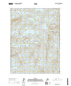
2017 Map of Yakutat D-7 NW
USGS Topo · Published 2017About this map
Malaspina Glacier dominates this glacial terrain, which lies within the protected expanse of Wrangell-Saint Elias National Park. The landscape is a complex study of ice and elevation, characterized by the dense contour lines of the glacier's surface and the surrounding Alaskan wilderness. As a modern 2017 survey, this map provides a precise view of the glacier's extent and position within the public land survey system, including townships t22s r28e, t22s r29e, t23s r28e, and t23s r29e. The absence of man-made structures, roads, or named settlements underscores the extreme isolation of this coastal mountain region, where the environment is defined entirely by natural forces and protected boundaries.
Find a feature on this map
6 named features on this map. Tap any name to fly to it.
Don’t see what you’re looking for? This feature index may not catch every label — zoom into the map to look around manually.
Map Details
Editions of this 2017 Yakutat D-7 NW Map
This is the sole edition of this map. No revisions or reprints were ever made.
Other maps of this area

1951 · Yakutat
USGS Topo · 1:250,000

1951 · Mt Saint Elias
USGS Topo · 1:250,000

1959 · Yakutat
USGS Topo · 1:250,000

1959 · Mt Saint Elias
USGS Topo · 1:250,000
1985 · Mount Saint Elias A-7
USGS Topo · 1:63,360
1985 · Mount Saint Elias A-8
USGS Topo · 1:63,360
1985 · Yakutat D-8
USGS Topo · 1:63,360
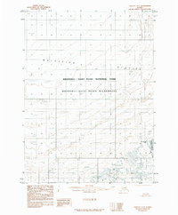
1985 · Yakutat D-7
USGS Topo · 1:63,360
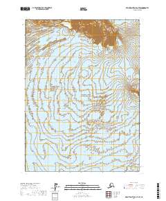
2017 · Mount Saint Elias A-7 SW
USGS Topo · 1:25,000
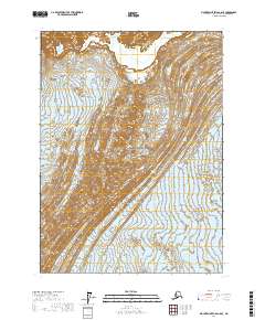
2017 · Mount Saint Elias A-8 SE
USGS Topo · 1:25,000