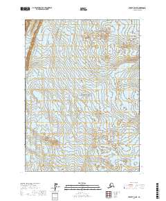
2017 Map of Yakutat D-8 NE
USGS Topo · Published 2017About this map
Wrangell-Saint Elias National Park encompasses the vast majority of this 2017 topographic survey, illustrating a landscape defined entirely by natural forces. The sheet is dominated by the massive Malaspina Glacier, which appears in both the northern and southern reaches of the quadrangle. The lack of man-made structures, roads, or named settlements highlights the protected and formidable character of this coastal Alaskan wilderness. Modern surveying by the U.S. Geological Survey provides precise elevation contours that trace the complex flow and surface of the glacial ice as it moves toward the sea, offering a clear record of the area's glaciological features within the National Park system.
Find a feature on this map
6 named features on this map. Tap any name to fly to it.
Don’t see what you’re looking for? This feature index may not catch every label — zoom into the map to look around manually.
Map Details
Editions of this 2017 Yakutat D-8 NE Map
This is the sole edition of this map. No revisions or reprints were ever made.
Other maps of this area

1951 · Yakutat
USGS Topo · 1:250,000

1951 · Mt Saint Elias
USGS Topo · 1:250,000

1959 · Yakutat
USGS Topo · 1:250,000

1959 · Mt Saint Elias
USGS Topo · 1:250,000
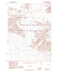
1985 · Mount Saint Elias A-7
USGS Topo · 1:63,360
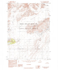
1985 · Mount Saint Elias A-8
USGS Topo · 1:63,360
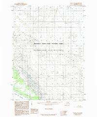
1985 · Yakutat D-8
USGS Topo · 1:63,360
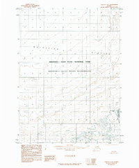
1985 · Yakutat D-7
USGS Topo · 1:63,360
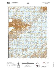
2017 · Mount Saint Elias A-8 SW
USGS Topo · 1:25,000
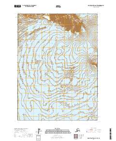
2017 · Mount Saint Elias A-7 SW
USGS Topo · 1:25,000