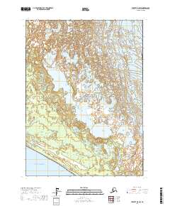
2017 Map of Yakutat D-8 SW
USGS Topo · Published 2017About this map
Malaspina Glacier dominates the northern reaches of this coastal Alaskan landscape, situated within the massive protected expanse of Wrangell-Saint Elias National Park. The survey illustrates the dynamic transition from glacial margins to the open waters of the Gulf of Alaska in the south. Between these two environments, Fountain Stream navigates a complex system of meltwater channels and wetlands, reflecting the hydrological movement of the era. The mapping of township lines, such as t24s r26e and t25s r27e, provides a grid for understanding the geographic orientation of this remote territory where ice, freshwater drainage, and marine influence converge.
Find a feature on this map
10 named features on this map. Tap any name to fly to it.
Don’t see what you’re looking for? This feature index may not catch every label — zoom into the map to look around manually.
Map Details
Editions of this 2017 Yakutat D-8 SW Map
This is the sole edition of this map. No revisions or reprints were ever made.
Other maps of this area

1950 · Icy Bay
USGS Topo · 1:250,000

1951 · Icy Bay
USGS Topo · 1:250,000

1951 · Yakutat
USGS Topo · 1:250,000

1959 · Yakutat
USGS Topo · 1:250,000

1961 · Icy Bay
USGS Topo · 1:250,000
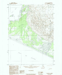
1985 · Icy Bay D-1
USGS Topo · 1:63,360
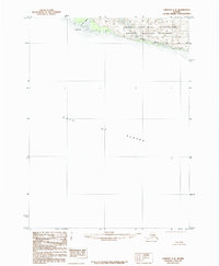
1985 · Yakutat C-8
USGS Topo · 1:63,360
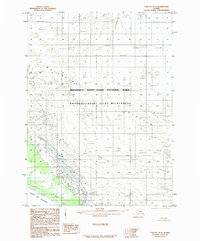
1985 · Yakutat D-8
USGS Topo · 1:63,360
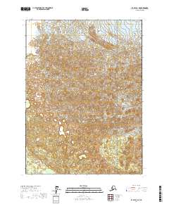
2017 · Icy Bay D-1 NE
USGS Topo · 1:25,000
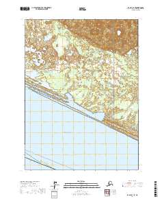
2017 · Icy Bay D-1 SE
USGS Topo · 1:25,000