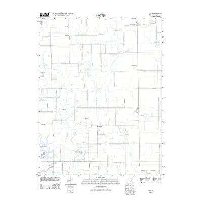
2012 Map of Yale
USGS Topo · Published 2012About this map
The agricultural landscape of Jasper County is defined by a dense grid of range and township roads, centered on the small settlements of Yale and Hunt City. This 2012 survey illustrates the long-standing rural community structure, where numerous family and community burial grounds like Brockville Cem and Madison Cem are distributed throughout the countryside. The presence of both New Saint Peters Cem and Old Saint Peters Cem near Lake Jasper provides a specific point of interest for genealogists tracing early parish histories or local lineages. Recreational sites such as Sam Parr Lake and the Fairview Drive-In appear alongside the meandering paths of W Crooked Cr and Hickory Cr, which break the geometric precision of the section lines.
Find a feature on this map
74 named features on this map. Tap any name to fly to it.
Don’t see what you’re looking for? This feature index may not catch every label — zoom into the map to look around manually.
Map Details
Editions of this 2012 Yale Map
This is the sole edition of this map. No revisions or reprints were ever made.
Other maps of this area

1910 · Hardinville
USGS Topo · 1:62,500

1940 · Greenup
USGS Topo · 1:62,500

1941 · Newton
USGS Topo · 1:62,500

1943 · Greenup
USGS Topo · 1:62,500

1943 · Newton
USGS Topo · 1:62,500

1953 · Indianapolis
USGS Topo · 1:250,000

1956 · Indianapolis
USGS Topo · 1:250,000

1956 · Annapolis
USGS Topo · 1:62,500

1956 · Vincennes
USGS Topo · 1:250,000

1957 · Indianapolis
USGS Topo · 1:250,000