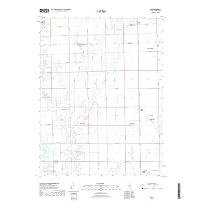
2018 Map of Yale
USGS Topo · Published 2018About this map
The village of Yale sits at the northern edge of this Jasper County survey, where the grid of rural roads meets the branching drainage of E Crooked Cr and Hunts Br. This agricultural landscape is punctuated by numerous family and community burial grounds, providing a dense record for genealogical research. Prominent sites include Kilgore Cem and Brown Cem near the center of the quadrangle, and Old Saint Peters Cem further south. Toward the southern boundary, the small settlements of Hunt City and Willow Hill mark the transition toward the banks of Crooked Cr. The terrain is defined by low-lying water bodies such as Lake Jasper and Sam Parr Lake, which break the rectilinear pattern of township and range lines. The concentration of historical cemetery labels across this modern survey reflects the enduring imprint of early settlement families on the Jasper County countryside.
Find a feature on this map
50 named features on this map. Tap any name to fly to it.
Don’t see what you’re looking for? This feature index may not catch every label — zoom into the map to look around manually.
Map Details
Editions of this 2018 Yale Map
This is the sole edition of this map. No revisions or reprints were ever made.
Other maps of this area

1910 · Hardinville
USGS Topo · 1:62,500

1940 · Greenup
USGS Topo · 1:62,500

1941 · Newton
USGS Topo · 1:62,500

1943 · Greenup
USGS Topo · 1:62,500

1943 · Newton
USGS Topo · 1:62,500

1953 · Indianapolis
USGS Topo · 1:250,000

1956 · Indianapolis
USGS Topo · 1:250,000

1956 · Annapolis
USGS Topo · 1:62,500

1956 · Vincennes
USGS Topo · 1:250,000

1957 · Indianapolis
USGS Topo · 1:250,000