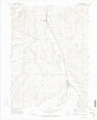
1972 Map of Yampa
USGS Topo · Published 1975About this map
The Denver and Rio Grande Western railroad serves as the industrial spine of this valley, connecting the rail town of Phippsburg to the settlement at Yampa. During the early 1970s, the landscape reflects a mixture of agricultural water management and resource extraction, evidenced by the Strip Mines north of Little White Snake Creek and the network of irrigation features like the Palisades Ditch. The topography is defined by the Yampa River and Bear River corridors, hemmed in by the high elevations of Devils Grave Mesa and the prominent Finger Rock to the south. Local history is anchored by landmarks such as the Yampa Cem and the extensive borders of the Routt National Forest, while numerous drainages like Watson Creek and Raspberry Creek feed the central valley floor.
Find a feature on this map
32 named features on this map. Tap any name to fly to it.
Don’t see what you’re looking for? This feature index may not catch every label — zoom into the map to look around manually.
Map Details
Editions of this 1972 Yampa Map
2 editions found
Other maps of this area

1924 · Mt. Harris
USGS Topo · 1:48,000

1926 · Mount Harris
USGS Topo · 1:62,500

1954 · Craig
USGS Topo · 1:250,000

1957 · Craig
USGS Topo · 1:250,000

1958 · Craig
USGS Topo · 1:250,000

1960 · Craig
USGS Topo · 1:250,000

1962 · Craig
USGS Topo · 1:250,000

1964 · Craig
USGS Topo · 1:250,000

1965 · Craig
USGS Topo · 1:250,000
1966 · Sand Point
USGS Topo · 1:24,000