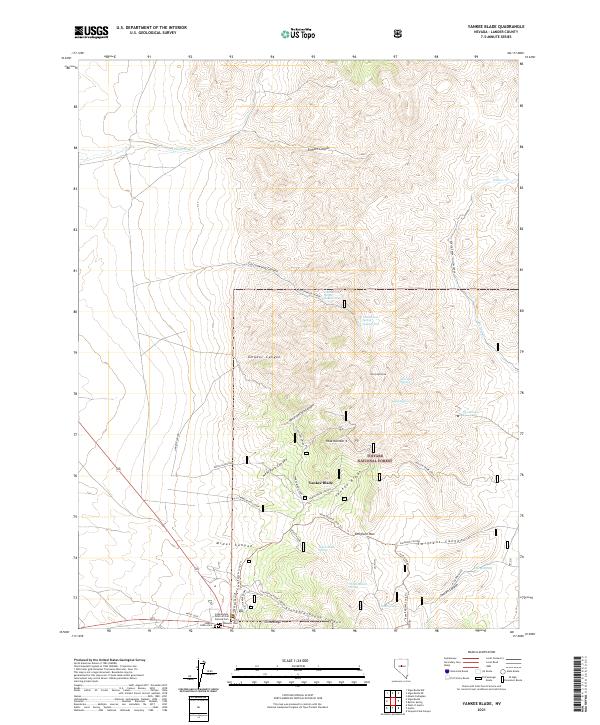
2021 Map of Yankee Blade
USGS Topo · Published 2021About this map
Yankee Blade and its surrounding canyons within the Toiyabe National Forest reflect a landscape of deep historical layers, from nineteenth-century mining to early transcontinental travel. The terrain is marked by remnants of industry, including the Silver Eagle Mine and the Austin Mine Dumps, which sit above a network of commemorative sites like the Independent Order of Odd Fellows Cem, Masonic Cem, and Austin Indian Cem. These burial grounds suggest the diverse community that once populated this corner of the Lander high country.
Find a feature on this map
43 named features on this map. Tap any name to fly to it.
Don’t see what you’re looking for? This feature index may not catch every label — zoom into the map to look around manually.
Map Details
Editions of this 2021 Yankee Blade Map
This is the sole edition of this map. No revisions or reprints were ever made.
Other maps of this area

1926 · Roberts Mountains
USGS Topo · 1:250,000

1929 · Roberts Mountains
USGS Topo · 1:250,000

1955 · Millett
USGS Topo · 1:250,000

1956 · Mount Callaghan
USGS Topo · 1:62,500

1956 · Austin
USGS Topo · 1:62,500

1959 · Millett
USGS Topo · 1:250,000

1960 · Spencer Hot Springs
USGS Topo · 1:62,500

1969 · Yankee Blade
USGS Topo · 1:24,000

1969 · Vigus Butte NE
USGS Topo · 1:24,000

1969 · Vigus Butte
USGS Topo · 1:24,000