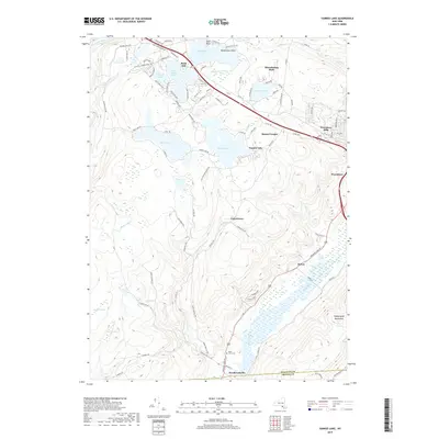
2019 Map of Yankee Lake
USGS Topo · Published 2019About this map
Rock Hill and the surrounding resort communities of the Catskill foothills are meticulously detailed in this 2019 survey. The map highlights the significant water features that defined the area's development, including Wanaksink Lake, Wolf Lake, and Yankee Lake. Residential clusters like Mamakating Park and Wurtsboro Hills sit along the high ground, while the Otisville Correctional Facil stands as a prominent institution in the western section of the quadrangle.
Find a feature on this map
97 named features on this map. Tap any name to fly to it.
Don’t see what you’re looking for? This feature index may not catch every label — zoom into the map to look around manually.
Map Details
Editions of this 2019 Yankee Lake Map
This is the sole edition of this map. No revisions or reprints were ever made.
Other maps of this area

1904 · Ellenville
USGS Topo · 1:62,500

1906 · Ellenville
USGS Topo · 1:62,500

1906 · Port Jervis
USGS Topo · 1:62,500

1906 · Goshen
USGS Topo · 1:62,500

1908 · Goshen
USGS Topo · 1:62,500

1908 · Port Jervis
USGS Topo · 1:62,500

1909 · Monticello
USGS Topo · 1:62,500

1911 · Monticello
USGS Topo · 1:62,500

1938 · Goshen
USGS Topo · 1:62,500

1942 · Port Jervis North
USGS Topo · 1:24,000